
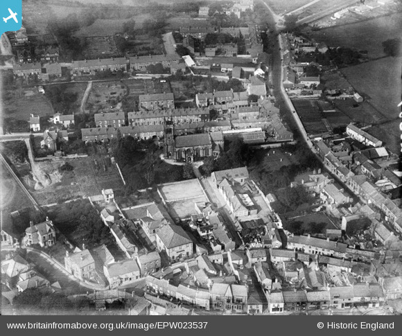
EPW023537 ENGLAND (1928). St James' Church and environs, Wetherby, 1928
© Copyright OpenStreetMap contributors and licensed by the OpenStreetMap Foundation. 2025. Cartography is licensed as CC BY-SA.
Nearby Images (6)
EPW023537

EPW024340

EPW023539

EPW023536

EPW024341

EPW024346

Details
| Title | [EPW023537] St James' Church and environs, Wetherby, 1928 |
| Reference | EPW023537 |
| Date | September-1928 |
| Link | |
| Place name | WETHERBY |
| Parish | WETHERBY |
| District | |
| Country | ENGLAND |
| Easting / Northing | 440396, 448371 |
| Longitude / Latitude | -1.3847065861089, 53.929689680821 |
| National Grid Reference | SE404484 |
Pins
Be the first to add a comment to this image!