
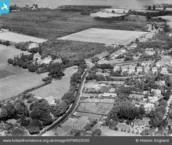
EPW023500 ENGLAND (1928). Highfield Road, Shepperton, 1928
© Copyright OpenStreetMap contributors and licensed by the OpenStreetMap Foundation. 2026. Cartography is licensed as CC BY-SA.
Nearby Images (2)
EPW023500

EPW023495

Details
| Title | [EPW023500] Highfield Road, Shepperton, 1928 |
| Reference | EPW023500 |
| Date | September-1928 |
| Link | |
| Place name | SHEPPERTON |
| Parish | |
| District | |
| Country | ENGLAND |
| Easting / Northing | 508009, 167449 |
| Longitude / Latitude | -0.44732414758259, 51.39528756215 |
| National Grid Reference | TQ080674 |
Pins

Geoff L |
Saturday 25th of February 2023 04:03:22 PM | |
|
bumblee |
Tuesday 4th of August 2015 01:03:16 PM | |
|
bumblee |
Friday 29th of November 2013 02:40:23 PM | |
|
bumblee |
Thursday 10th of October 2013 03:59:18 PM | |
|
MB |
Saturday 3rd of November 2012 10:03:03 AM | |
|
MB |
Saturday 3rd of November 2012 10:01:55 AM | |
|
MB |
Saturday 3rd of November 2012 09:58:09 AM | |
|
MB |
Saturday 3rd of November 2012 09:55:56 AM | |
|
MB |
Saturday 3rd of November 2012 09:54:48 AM | |
|
MB |
Saturday 3rd of November 2012 09:54:24 AM | |
shepperton village hall |
bumblee |
Thursday 10th of October 2013 04:57:08 PM |
|
MB |
Saturday 3rd of November 2012 09:52:49 AM | |
|
MB |
Saturday 3rd of November 2012 09:52:02 AM | |
|
MB |
Saturday 3rd of November 2012 09:51:06 AM | |
knocked down 2013 now retirement homes |
bumblee |
Friday 29th of November 2013 02:46:04 PM |