
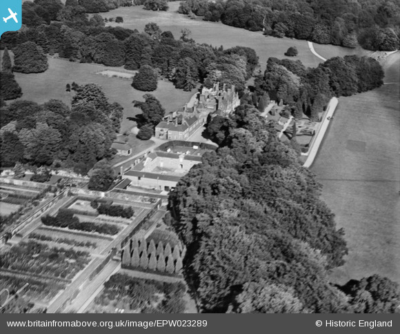
EPW023289 ENGLAND (1928). The Mansion, Hurstbourne Park, 1928
© Copyright OpenStreetMap contributors and licensed by the OpenStreetMap Foundation. 2026. Cartography is licensed as CC BY-SA.
Nearby Images (3)
EPW023289

EPW023288

EPW023287

Details
| Title | [EPW023289] The Mansion, Hurstbourne Park, 1928 |
| Reference | EPW023289 |
| Date | September-1928 |
| Link | |
| Place name | HURSTBOURNE PARK |
| Parish | HURSTBOURNE PRIORS |
| District | |
| Country | ENGLAND |
| Easting / Northing | 443989, 148080 |
| Longitude / Latitude | -1.3699256447907, 51.229696134499 |
| National Grid Reference | SU440481 |
Pins
Be the first to add a comment to this image!