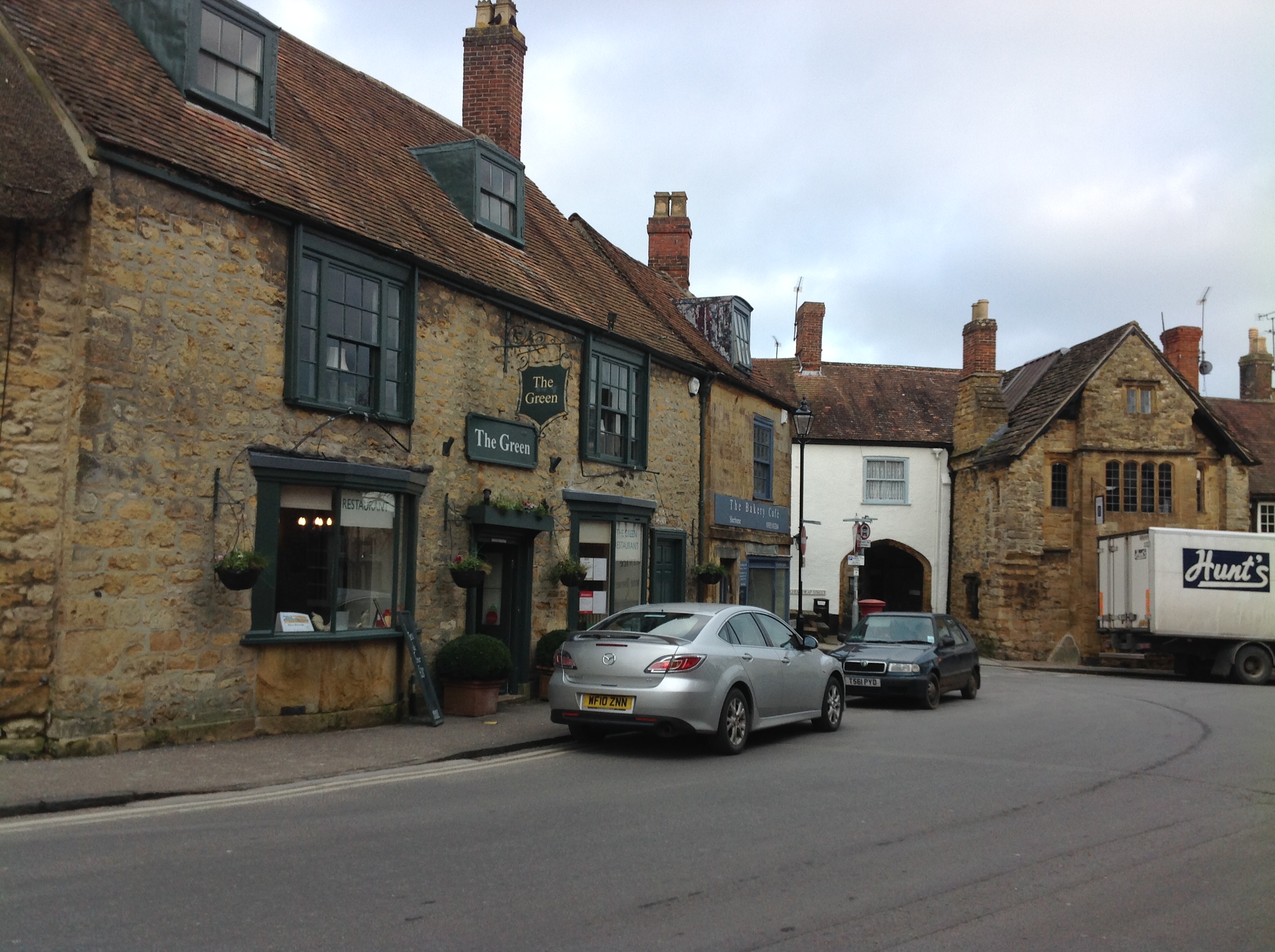
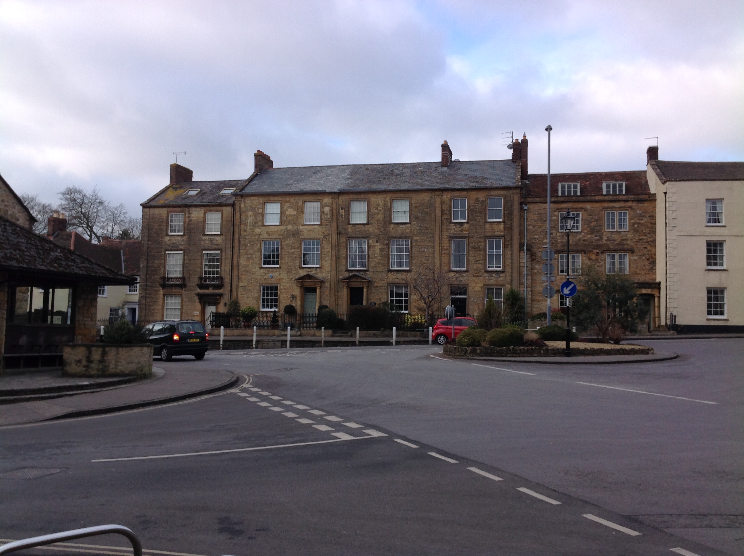
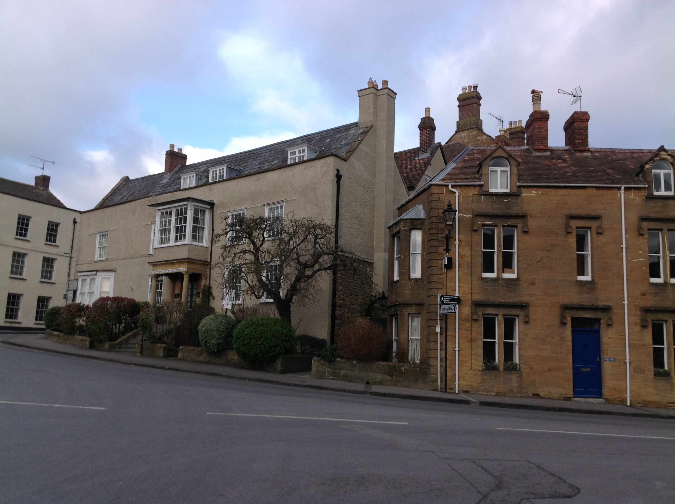
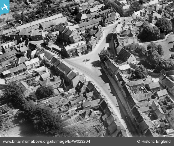
EPW023204 ENGLAND (1928). The Green, Sherborne, 1928
© Copyright OpenStreetMap contributors and licensed by the OpenStreetMap Foundation. 2026. Cartography is licensed as CC BY-SA.
Nearby Images (4)
EPW023204

EAW051928

EAW051927

EPW011723

Details
| Title | [EPW023204] The Green, Sherborne, 1928 |
| Reference | EPW023204 |
| Date | September-1928 |
| Link | |
| Place name | SHERBORNE |
| Parish | SHERBORNE |
| District | |
| Country | ENGLAND |
| Easting / Northing | 363673, 116902 |
| Longitude / Latitude | -2.5171966743118, 50.949858898964 |
| National Grid Reference | ST637169 |
Pins

Class31 |
Wednesday 4th of February 2015 03:26:40 PM | |
|
Class31 |
Wednesday 4th of February 2015 03:25:58 PM | |
|
Class31 |
Tuesday 5th of February 2013 05:38:21 PM | |
|
Class31 |
Tuesday 5th of February 2013 05:37:57 PM | |

4eyes |
Tuesday 11th of December 2012 05:21:39 PM |