
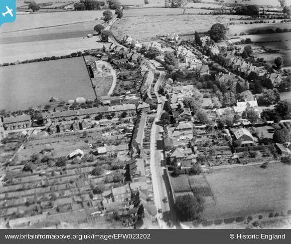
EPW023202 ENGLAND (1928). Cold Harbour, Sherborne, 1928
© Copyright OpenStreetMap contributors and licensed by the OpenStreetMap Foundation. 2026. Cartography is licensed as CC BY-SA.
Nearby Images (2)
EPW023202

EAW051927

Details
| Title | [EPW023202] Cold Harbour, Sherborne, 1928 |
| Reference | EPW023202 |
| Date | September-1928 |
| Link | |
| Place name | SHERBORNE |
| Parish | SHERBORNE |
| District | |
| Country | ENGLAND |
| Easting / Northing | 364029, 117149 |
| Longitude / Latitude | -2.5121528415149, 50.95210250186 |
| National Grid Reference | ST640171 |
Pins

Tim Hale |
Monday 8th of June 2015 01:00:24 PM | |
|
Tim Hale |
Monday 8th of June 2015 12:59:35 PM | |

Class31 |
Tuesday 5th of February 2013 05:31:22 PM | |
|
Class31 |
Tuesday 5th of February 2013 05:29:44 PM | |
|
Class31 |
Tuesday 5th of February 2013 05:27:59 PM |