
EPW023199 ENGLAND (1928). Shaftesbury and environs, Shaftesbury, from the east, 1928

© Copyright OpenStreetMap contributors and licensed by the OpenStreetMap Foundation. 2026. Cartography is licensed as CC BY-SA.
Nearby Images (2)
EPW023199

EPW023190

Details
| Title | [EPW023199] Shaftesbury and environs, Shaftesbury, from the east, 1928 |
| Reference | EPW023199 |
| Date | September-1928 |
| Link | |
| Place name | SHAFTESBURY |
| Parish | SHAFTESBURY |
| District | |
| Country | ENGLAND |
| Easting / Northing | 386841, 122885 |
| Longitude / Latitude | -2.1875682008075, 51.004660456855 |
| National Grid Reference | ST868229 |
Pins

adfbristol |
Thursday 20th of June 2013 12:23:39 AM | |

Class31 |
Wednesday 1st of August 2012 08:15:40 AM | |
|
Class31 |
Wednesday 1st of August 2012 08:14:57 AM | |
|
Class31 |
Wednesday 1st of August 2012 08:14:15 AM |
User Comment Contributions
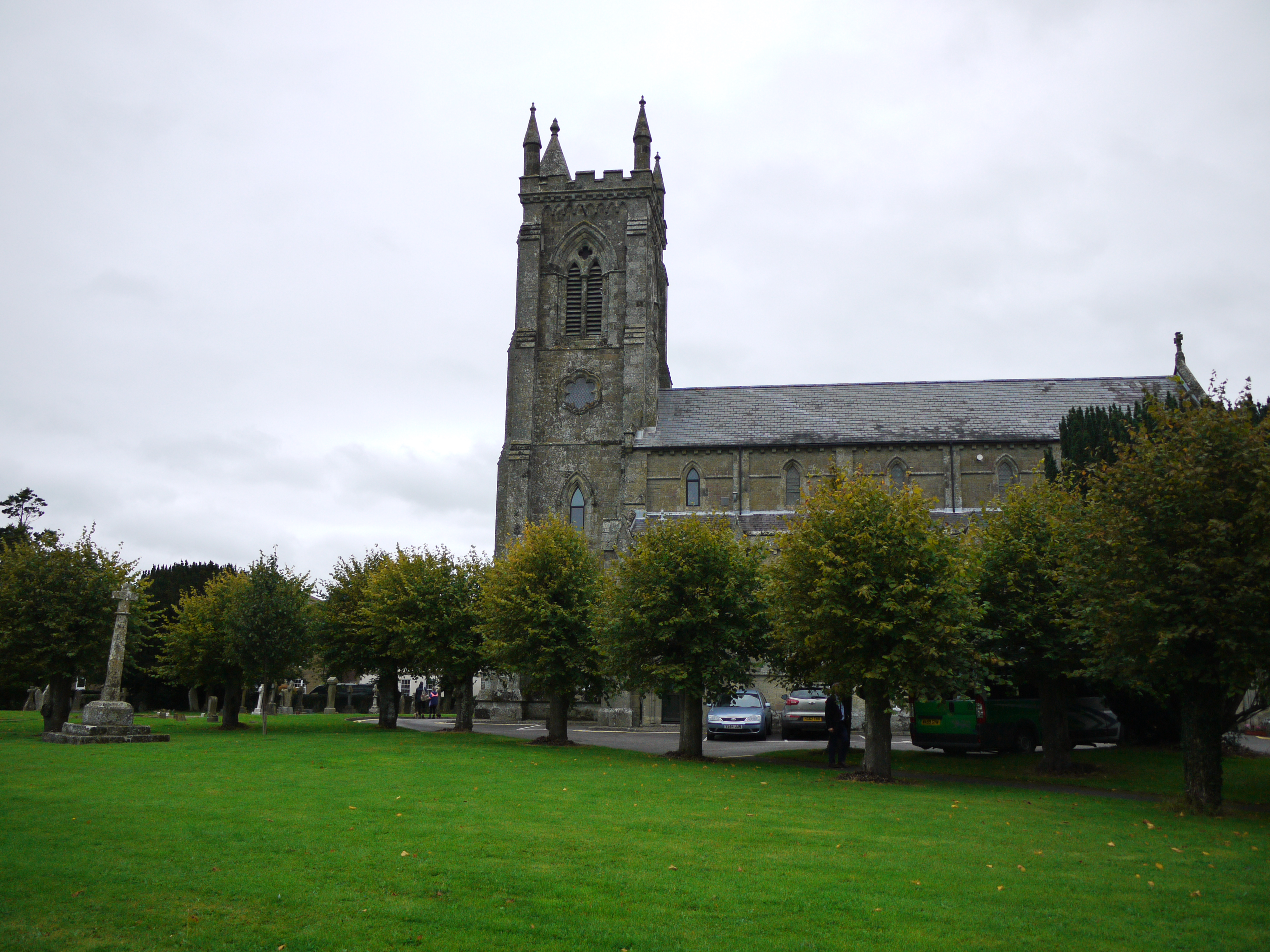
Holy Trinity Church, Shaftesbury, 16/09/2015 |
Class31 |
Friday 18th of September 2015 11:06:25 AM |