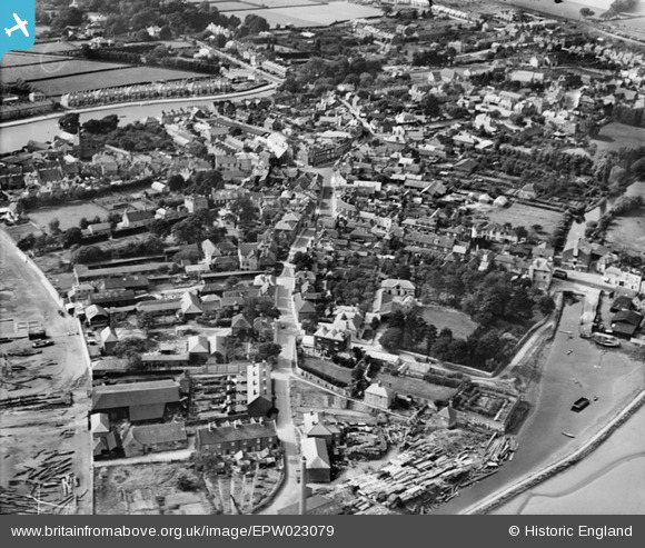
EPW023079 ENGLAND (1928). The town centre, Emsworth, 1928
    © Copyright OpenStreetMap contributors and licensed by the OpenStreetMap Foundation. 2025. Cartography is licensed as CC BY-SA.
  
Details
| Title | [EPW023079] The town centre, Emsworth, 1928 | 
| Reference | EPW023079 | 
| Date | August-1928 | 
| Link | |
| Place name | EMSWORTH | 
| Parish | |
| District | |
| Country | ENGLAND | 
| Easting / Northing | 475094, 105663 | 
| Longitude / Latitude | -0.93325546524136, 50.845051422407 | 
| National Grid Reference | SU751057 | 
Pins
|  This bridge is located at GPS 50.846413 / -0.933630.  The water course on the north side of the road is no longer there, although the Flour Mill is easily seen on Google Earth Street View. |   Rob Davis | Monday 23rd of November 2020 03:41:55 PM | 
|  Emsworth County Primary School |   Barry2CV | Sunday 25th of February 2018 05:27:46 PM | 
|  Kinnell & Hartley's Brewery |   alastair wallace | Thursday 29th of October 2015 08:38:26 PM | 
 
             
  ![[EPW023079] The town centre, Emsworth, 1928](http://britainfromabove.org.uk/sites/all/libraries/aerofilms-images/public/100x100/EPW/023/EPW023079.jpg) 
  
                                          ![[EPW023060] St Peter's Square, Emsworth, 1928](http://britainfromabove.org.uk/sites/all/libraries/aerofilms-images/public/100x100/EPW/023/EPW023060.jpg) 
 ![[EPW023062] St Peter's Square and the High Street, Emsworth, 1928](http://britainfromabove.org.uk/sites/all/libraries/aerofilms-images/public/100x100/EPW/023/EPW023062.jpg) 
 ![[EPW023058] Hermitage Bridge, Southbourne, 1928](http://britainfromabove.org.uk/sites/all/libraries/aerofilms-images/public/100x100/EPW/023/EPW023058.jpg) 
 