
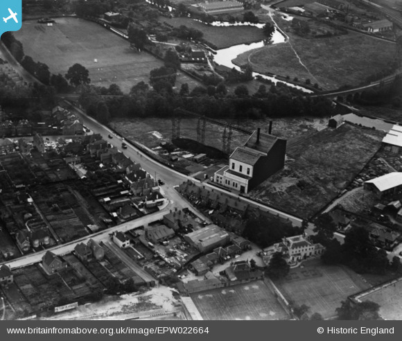
EPW022664 ENGLAND (1928). The Power Station on Woodbridge Road, Guildford, 1928. This image has been produced from a print.
© Copyright OpenStreetMap contributors and licensed by the OpenStreetMap Foundation. 2025. Cartography is licensed as CC BY-SA.
Nearby Images (3)
EPW022664

EPW022661

EPW022656

Details
| Title | [EPW022664] The Power Station on Woodbridge Road, Guildford, 1928. This image has been produced from a print. |
| Reference | EPW022664 |
| Date | 15-August-1928 |
| Link | |
| Place name | GUILDFORD |
| Parish | |
| District | |
| Country | ENGLAND |
| Easting / Northing | 499370, 150552 |
| Longitude / Latitude | -0.57618196203373, 51.244962916703 |
| National Grid Reference | SU994506 |
Pins
Be the first to add a comment to this image!