
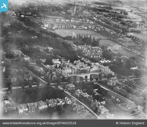
EPW022518 ENGLAND (1928). The Royal Berkshire Hospital and St Andrew's Church, Reading, 1928
© Copyright OpenStreetMap contributors and licensed by the OpenStreetMap Foundation. 2026. Cartography is licensed as CC BY-SA.
Nearby Images (9)
EPW022518

EPW000872

EPW000866

EPW037491

EPW000871

EPW037490

EAW037480

EAW037478

EAW050530

Details
| Title | [EPW022518] The Royal Berkshire Hospital and St Andrew's Church, Reading, 1928 |
| Reference | EPW022518 |
| Date | 11-August-1928 |
| Link | |
| Place name | READING |
| Parish | |
| District | |
| Country | ENGLAND |
| Easting / Northing | 472446, 172911 |
| Longitude / Latitude | -0.95732739573203, 51.45005480361 |
| National Grid Reference | SU724729 |


User Comment Contributions

St. Andrew's United Reformed Church, London Road, Reading, 10/06/2015 |

Class31 |
Thursday 11th of June 2015 08:01:17 AM |

Royal Berkshire Hospital, Reading, 10/06/2015 |
Class31 |
Thursday 11th of June 2015 08:00:44 AM |

Royal Berkshire Hospital, Reading, 10/06/2015 |
Class31 |
Thursday 11th of June 2015 08:00:14 AM |