
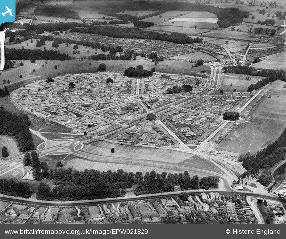
EPW021829 ENGLAND (1928). Wollaton Park Housing Estate, Wollaton, 1928
© Copyright OpenStreetMap contributors and licensed by the OpenStreetMap Foundation. 2026. Cartography is licensed as CC BY-SA.
Nearby Images (5)
EPW021829

EPW020936

EPW021830

EPW021831

EPW020937

Details
| Title | [EPW021829] Wollaton Park Housing Estate, Wollaton, 1928 |
| Reference | EPW021829 |
| Date | June-1928 |
| Link | |
| Place name | WOLLATON |
| Parish | |
| District | |
| Country | ENGLAND |
| Easting / Northing | 454437, 339418 |
| Longitude / Latitude | -1.1897114773143, 52.949065154311 |
| National Grid Reference | SK544394 |
