
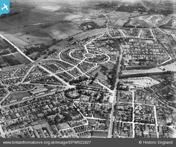
EPW021827 ENGLAND (1928). Collin Green and Mansfield Road, Sherwood, 1928
© Copyright OpenStreetMap contributors and licensed by the OpenStreetMap Foundation. 2025. Cartography is licensed as CC BY-SA.
Nearby Images (5)
EPW021827

EPW021828

EPW021826

EPW021825

EPW021824

Details
| Title | [EPW021827] Collin Green and Mansfield Road, Sherwood, 1928 |
| Reference | EPW021827 |
| Date | June-1928 |
| Link | |
| Place name | SHERWOOD |
| Parish | |
| District | |
| Country | ENGLAND |
| Easting / Northing | 457489, 343606 |
| Longitude / Latitude | -1.143544360143, 52.986393821949 |
| National Grid Reference | SK575436 |
Pins

KC |
Sunday 16th of July 2023 10:38:38 AM | |
|
KC |
Sunday 16th of July 2023 10:37:43 AM | |
|
SB146 |
Monday 25th of May 2015 08:27:16 AM | |
|
SB146 |
Monday 25th of May 2015 08:24:48 AM |