
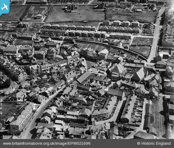
EPW021696 ENGLAND (1928). Commercial Square and environs, Newquay, 1928
© Copyright OpenStreetMap contributors and licensed by the OpenStreetMap Foundation. 2026. Cartography is licensed as CC BY-SA.
Nearby Images (3)
EPW021696

EAW031038

EPW039799

Details
| Title | [EPW021696] Commercial Square and environs, Newquay, 1928 |
| Reference | EPW021696 |
| Date | 24-June-1928 |
| Link | |
| Place name | NEWQUAY |
| Parish | NEWQUAY |
| District | |
| Country | ENGLAND |
| Easting / Northing | 180806, 61635 |
| Longitude / Latitude | -5.0855879200636, 50.413018593009 |
| National Grid Reference | SW808616 |
Pins
Be the first to add a comment to this image!