
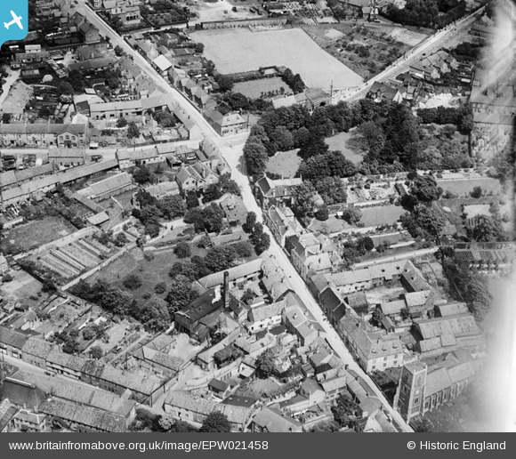
EPW021458 ENGLAND (1928). Whitehart Street, Thetford, 1928
© Copyright OpenStreetMap contributors and licensed by the OpenStreetMap Foundation. 2026. Cartography is licensed as CC BY-SA.
Nearby Images (6)
EPW021458

EPW021454

EPW021459

EPW021449

EPW021448

EPW021457

Details
| Title | [EPW021458] Whitehart Street, Thetford, 1928 |
| Reference | EPW021458 |
| Date | June-1928 |
| Link | |
| Place name | THETFORD |
| Parish | THETFORD |
| District | |
| Country | ENGLAND |
| Easting / Northing | 586950, 283283 |
| Longitude / Latitude | 0.74924666623023, 52.415167584028 |
| National Grid Reference | TL870833 |
Pins
Be the first to add a comment to this image!