
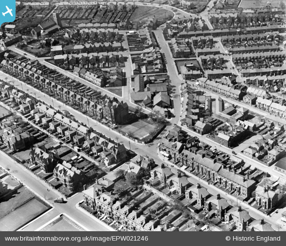
EPW021246 ENGLAND (1928). Carlton Road and environs, Lowestoft, 1928
© Copyright OpenStreetMap contributors and licensed by the OpenStreetMap Foundation. 2025. Cartography is licensed as CC BY-SA.
Nearby Images (2)
EPW021246

EAW005062

Details
| Title | [EPW021246] Carlton Road and environs, Lowestoft, 1928 |
| Reference | EPW021246 |
| Date | May-1928 |
| Link | |
| Place name | LOWESTOFT |
| Parish | |
| District | |
| Country | ENGLAND |
| Easting / Northing | 654227, 291769 |
| Longitude / Latitude | 1.7430778840451, 52.4641907665 |
| National Grid Reference | TM542918 |
Pins

Brightonboy |
Monday 14th of October 2013 10:14:22 PM | |
|
Brightonboy |
Monday 14th of October 2013 10:04:02 PM | |
|
Brightonboy |
Monday 14th of October 2013 10:01:44 PM | |
|
Brightonboy |
Monday 14th of October 2013 10:00:45 PM | |
|
Brightonboy |
Monday 14th of October 2013 09:59:53 PM | |
|
Brightonboy |
Monday 14th of October 2013 09:59:25 PM | |
|
Brightonboy |
Monday 14th of October 2013 09:58:40 PM |