
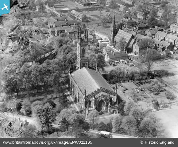
EPW021105 ENGLAND (1928). St Peter's Church and the Congregational Church, Belper, 1928
© Copyright OpenStreetMap contributors and licensed by the OpenStreetMap Foundation. 2026. Cartography is licensed as CC BY-SA.
Nearby Images (5)
EPW021105

EPW036060

EPW021108

EPW036062

EPW036064

Details
| Title | [EPW021105] St Peter's Church and the Congregational Church, Belper, 1928 |
| Reference | EPW021105 |
| Date | April-1928 |
| Link | |
| Place name | BELPER |
| Parish | BELPER |
| District | |
| Country | ENGLAND |
| Easting / Northing | 435058, 347671 |
| Longitude / Latitude | -1.4772540288342, 53.024874912063 |
| National Grid Reference | SK351477 |
Pins
Be the first to add a comment to this image!