
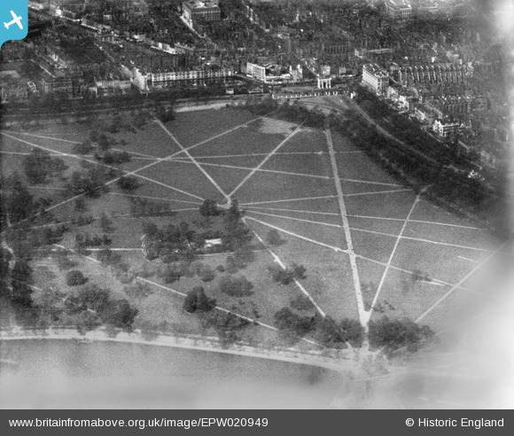
EPW020949 ENGLAND (1928). Hyde Park and Marble Arch, Hyde Park, 1928
© Copyright OpenStreetMap contributors and licensed by the OpenStreetMap Foundation. 2026. Cartography is licensed as CC BY-SA.
Nearby Images (5)
EPW020949

EPR000209

EAW000552

EAW000558

EPW024747

Details
| Title | [EPW020949] Hyde Park and Marble Arch, Hyde Park, 1928 |
| Reference | EPW020949 |
| Date | April-1928 |
| Link | |
| Place name | HYDE PARK |
| Parish | |
| District | |
| Country | ENGLAND |
| Easting / Northing | 527739, 180519 |
| Longitude / Latitude | -0.1591215904218, 51.508660381918 |
| National Grid Reference | TQ277805 |
Pins

Class31 |
Wednesday 17th of June 2015 08:00:42 AM | |
|
Class31 |
Monday 19th of January 2015 11:08:08 PM | |

Alan McFaden |
Sunday 29th of September 2013 10:26:30 PM | |
|
Alan McFaden |
Saturday 10th of August 2013 07:42:14 PM | |
|
Alan McFaden |
Friday 19th of July 2013 11:08:08 PM |


