
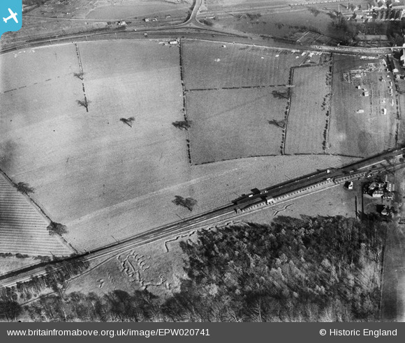
EPW020741 ENGLAND (1928). The site of the Bulwell Hall Estate, Bulwell, 1928
© Copyright OpenStreetMap contributors and licensed by the OpenStreetMap Foundation. 2026. Cartography is licensed as CC BY-SA.
Nearby Images (20)
EPW020741

EAW038724

EPW034145

EPW034148

EPW034147

EPW020737

EPW034144

EPW020743

EPW020742

EPW034135

EPW034137

EPW020740

EPW034139

EPW034149

EPW020739

EPW034138

EPW034146

EPW020744

EAW038725

EPW020748

Details
| Title | [EPW020741] The site of the Bulwell Hall Estate, Bulwell, 1928 |
| Reference | EPW020741 |
| Date | March-1928 |
| Link | |
| Place name | BULWELL |
| Parish | |
| District | |
| Country | ENGLAND |
| Easting / Northing | 454214, 346637 |
| Longitude / Latitude | -1.1918203143464, 53.013981865485 |
| National Grid Reference | SK542466 |
