
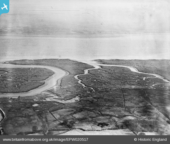
EPW020517 ENGLAND (1928). Southampton Water mud flats and Ashlett Creek, Ashlett, from the south-west, 1928
© Copyright OpenStreetMap contributors and licensed by the OpenStreetMap Foundation. 2026. Cartography is licensed as CC BY-SA.
Nearby Images (4)
EPW020517

EAW038214

EAW038246

EPW020500

Details
| Title | [EPW020517] Southampton Water mud flats and Ashlett Creek, Ashlett, from the south-west, 1928 |
| Reference | EPW020517 |
| Date | 16-March-1928 |
| Link | |
| Place name | ASHLETT |
| Parish | FAWLEY |
| District | |
| Country | ENGLAND |
| Easting / Northing | 446991, 103175 |
| Longitude / Latitude | -1.3327529417003, 50.82564323859 |
| National Grid Reference | SU470032 |
Pins

Class31 |
Monday 23rd of May 2016 10:17:00 PM |
