
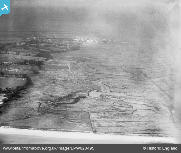
EPW020495 ENGLAND (1928). Ower Lake, Calshot, from the south-east, 1928
© Copyright OpenStreetMap contributors and licensed by the OpenStreetMap Foundation. 2026. Cartography is licensed as CC BY-SA.
Nearby Images (2)
EPW020495

EPW020493

Details
| Title | [EPW020495] Ower Lake, Calshot, from the south-east, 1928 |
| Reference | EPW020495 |
| Date | 16-March-1928 |
| Link | |
| Place name | CALSHOT |
| Parish | FAWLEY |
| District | |
| Country | ENGLAND |
| Easting / Northing | 448178, 101629 |
| Longitude / Latitude | -1.3161025498251, 50.811642599476 |
| National Grid Reference | SU482016 |
Pins
Be the first to add a comment to this image!