
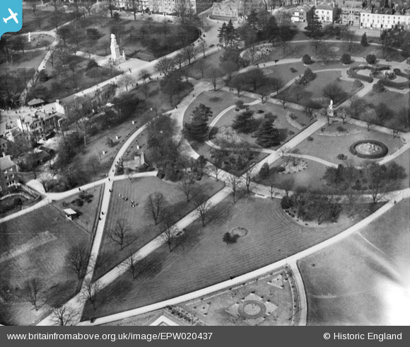
EPW020437 ENGLAND (1928). East Park and West Park, Southampton, 1928
© Copyright OpenStreetMap contributors and licensed by the OpenStreetMap Foundation. 2026. Cartography is licensed as CC BY-SA.
Nearby Images (6)
EPW020437

EPW020529

EPW020440

EPW020439

EPW059145

EPW059143

Details
| Title | [EPW020437] East Park and West Park, Southampton, 1928 |
| Reference | EPW020437 |
| Date | 16-March-1928 |
| Link | |
| Place name | SOUTHAMPTON |
| Parish | |
| District | |
| Country | ENGLAND |
| Easting / Northing | 442045, 112363 |
| Longitude / Latitude | -1.4019228345054, 50.908651294223 |
| National Grid Reference | SU420124 |
Pins

Class31 |
Friday 3rd of August 2012 09:28:38 PM | |
|
Class31 |
Friday 3rd of August 2012 09:24:38 PM | |
|
Class31 |
Friday 3rd of August 2012 09:24:17 PM | |
|
Class31 |
Friday 3rd of August 2012 09:23:03 PM | |
|
Class31 |
Friday 3rd of August 2012 09:22:23 PM | |
It was completed in 1920 and the design by Edward Lutyens is considered to be the prototype for the centaph in Whitehall. |
Lynda Tubbs |
Tuesday 19th of November 2013 01:49:54 PM |