
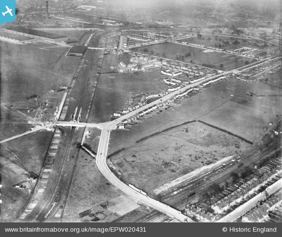
EPW020431 ENGLAND (1928). Housing development around Noel Road and the North Acton Playing Fields, Acton, 1928
© Copyright OpenStreetMap contributors and licensed by the OpenStreetMap Foundation. 2026. Cartography is licensed as CC BY-SA.
Nearby Images (10)
EPW020431

EPW020436

EPW021150

EPW020882

EAW044265

EPW020432

EPW020878

EPW020435

EPW021152

EPW020880

Details
| Title | [EPW020431] Housing development around Noel Road and the North Acton Playing Fields, Acton, 1928 |
| Reference | EPW020431 |
| Date | March-1928 |
| Link | |
| Place name | ACTON |
| Parish | |
| District | |
| Country | ENGLAND |
| Easting / Northing | 519506, 181267 |
| Longitude / Latitude | -0.27745611076133, 51.517185302438 |
| National Grid Reference | TQ195813 |
Pins

Des Elmes |
Tuesday 5th of April 2016 04:28:16 PM |