
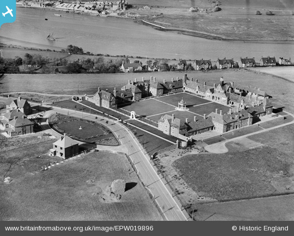
EPW019896 ENGLAND (1927). Foord Almshouses, Borstal, 1927
© Copyright OpenStreetMap contributors and licensed by the OpenStreetMap Foundation. 2026. Cartography is licensed as CC BY-SA.
Nearby Images (4)
EPW019896

EPW019899

EPW019897

EPW019898

Details
| Title | [EPW019896] Foord Almshouses, Borstal, 1927 |
| Reference | EPW019896 |
| Date | October-1927 |
| Link | |
| Place name | BORSTAL |
| Parish | |
| District | |
| Country | ENGLAND |
| Easting / Northing | 573699, 167094 |
| Longitude / Latitude | 0.49604343883162, 51.375791888117 |
| National Grid Reference | TQ737671 |
Pins

Switches |
Friday 17th of January 2014 04:01:19 PM | |
|
Switches |
Friday 17th of January 2014 04:01:15 PM | |

Dylan Moore |
Friday 8th of March 2013 03:24:23 PM |
User Comment Contributions
The road past the Foord Almshouses was built at the same time as the tramway. |
32110 |
Friday 3rd of May 2013 12:32:26 PM |