
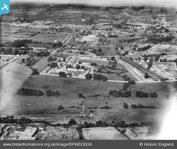
EPW019316 ENGLAND (1927). New housing next to the London Aerodrome, Burnt Oak, from the south-east, 1927
© Copyright OpenStreetMap contributors and licensed by the OpenStreetMap Foundation. 2026. Cartography is licensed as CC BY-SA.
Nearby Images (4)
EPW019316

EAW044039

EPW019314

EPW019315

Details
| Title | [EPW019316] New housing next to the London Aerodrome, Burnt Oak, from the south-east, 1927 |
| Reference | EPW019316 |
| Date | 23-September-1927 |
| Link | |
| Place name | BURNT OAK |
| Parish | |
| District | |
| Country | ENGLAND |
| Easting / Northing | 520673, 190162 |
| Longitude / Latitude | -0.25759020702781, 51.596887780692 |
| National Grid Reference | TQ207902 |
Pins

The Laird |
Thursday 4th of January 2018 02:02:52 PM | |
|
David Powell |
Tuesday 26th of June 2012 09:30:23 PM | |
|
David Powell |
Tuesday 26th of June 2012 09:28:01 PM | |
|
David Powell |
Tuesday 26th of June 2012 09:24:39 PM | |
|
David Powell |
Tuesday 26th of June 2012 09:23:37 PM | |
|
David Powell |
Tuesday 26th of June 2012 09:21:17 PM | |
|
David Powell |
Tuesday 26th of June 2012 09:19:45 PM |