
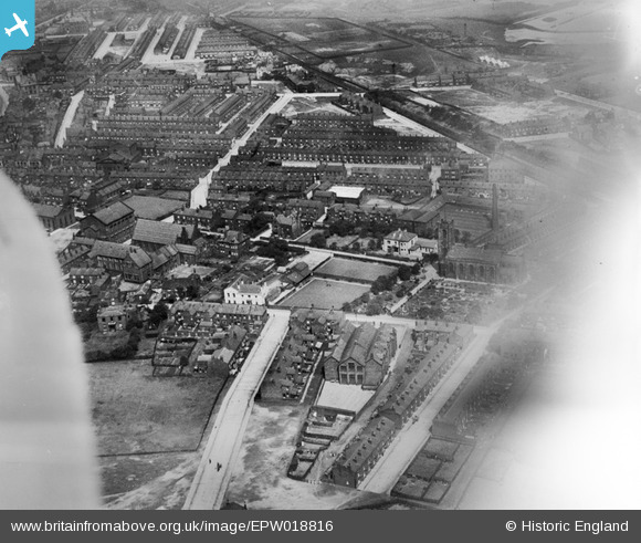
EPW018816 ENGLAND (1927). St John's School and Church Street, Farnworth, 1927
© Copyright OpenStreetMap contributors and licensed by the OpenStreetMap Foundation. 2026. Cartography is licensed as CC BY-SA.
Nearby Images (3)
EPW018816

EPW018819

EPW018818

Details
| Title | [EPW018816] St John's School and Church Street, Farnworth, 1927 |
| Reference | EPW018816 |
| Date | July-1927 |
| Link | |
| Place name | FARNWORTH |
| Parish | |
| District | |
| Country | ENGLAND |
| Easting / Northing | 374311, 405835 |
| Longitude / Latitude | -2.3877549912951, 53.548276740883 |
| National Grid Reference | SD743058 |
Pins

Leew522 |
Monday 11th of November 2024 01:20:33 AM | |
|
Leew522 |
Monday 11th of November 2024 01:19:47 AM | |
|
Leew522 |
Monday 11th of November 2024 01:12:12 AM | |
|
Leew522 |
Monday 11th of November 2024 01:11:27 AM | |
|
cornicen |
Sunday 29th of June 2014 11:04:38 AM | |
|
cornicen |
Friday 11th of April 2014 06:06:32 PM | |
I attended the school in the 1940's & 50's. In my early years it was a halfpenny tram ride from Moses Gate, |
cornicen |
Friday 11th of April 2014 06:09:31 PM |
|
gwray |
Monday 2nd of July 2012 10:12:22 AM | |
|
gwray |
Monday 2nd of July 2012 10:08:19 AM | |
|
gwray |
Monday 2nd of July 2012 10:06:33 AM |