
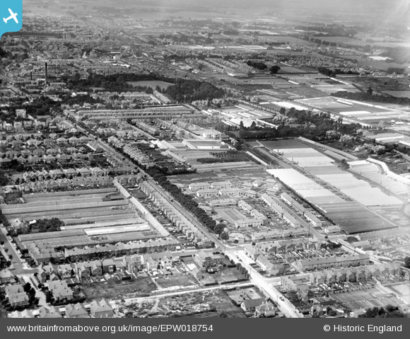
EPW018754 ENGLAND (1927). Lyndhurst Road and environs, Worthing, from the east, 1927
© Copyright OpenStreetMap contributors and licensed by the OpenStreetMap Foundation. 2026. Cartography is licensed as CC BY-SA.
Nearby Images (3)
EPW018754

EPW018739

EPW018745

Details
| Title | [EPW018754] Lyndhurst Road and environs, Worthing, from the east, 1927 |
| Reference | EPW018754 |
| Date | July-1927 |
| Link | |
| Place name | WORTHING |
| Parish | |
| District | |
| Country | ENGLAND |
| Easting / Northing | 516033, 103258 |
| Longitude / Latitude | -0.35267123411374, 50.816667749051 |
| National Grid Reference | TQ160033 |
Pins

SophieWattsit |
Sunday 17th of September 2023 12:54:10 AM | |
|
SophieWattsit |
Sunday 17th of September 2023 12:49:16 AM | |
|
SophieWattsit |
Sunday 17th of September 2023 12:47:40 AM | |
|
SophieWattsit |
Sunday 17th of September 2023 12:45:54 AM | |
|
SophieWattsit |
Sunday 17th of September 2023 12:35:22 AM | |
|
SophieWattsit |
Tuesday 9th of February 2021 11:35:46 PM | |

dickb |
Tuesday 1st of May 2018 02:30:36 PM | |

greenchief |
Monday 9th of July 2012 03:18:47 PM | |
|
greenchief |
Monday 9th of July 2012 03:17:53 PM | |
|
greenchief |
Monday 9th of July 2012 03:17:16 PM |