
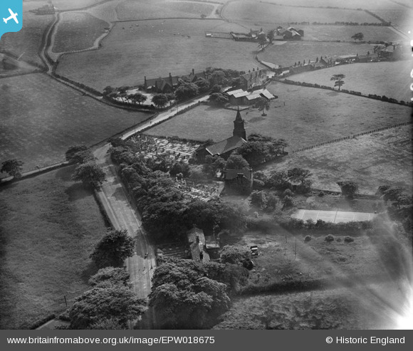
EPW018675 ENGLAND (1927). Christ Church and environs, Harwood, 1927
© Copyright OpenStreetMap contributors and licensed by the OpenStreetMap Foundation. 2026. Cartography is licensed as CC BY-SA.
Nearby Images (3)
EPW018675

EPW018676

EPW018674

Details
| Title | [EPW018675] Christ Church and environs, Harwood, 1927 |
| Reference | EPW018675 |
| Date | 2-July-1927 |
| Link | |
| Place name | HARWOOD |
| Parish | |
| District | |
| Country | ENGLAND |
| Easting / Northing | 374818, 411002 |
| Longitude / Latitude | -2.3805191693399, 53.59474827278 |
| National Grid Reference | SD748110 |
Pins

Michael Philip Smith |
Thursday 28th of July 2016 06:32:30 PM | |
|
Michael Philip Smith |
Thursday 28th of July 2016 06:27:10 PM | |
|
Michael Philip Smith |
Thursday 28th of July 2016 06:25:05 PM | |
|
Tony Watts |
Sunday 26th of May 2013 06:54:16 PM |