
EPW018644 ENGLAND (1927). The Victoria Recreation Ground and environs, Herne Bay, 1927

© Copyright OpenStreetMap contributors and licensed by the OpenStreetMap Foundation. 2026. Cartography is licensed as CC BY-SA.
Nearby Images (7)
EPW018644

EPW000536

EPW018640

EPW035494

EPW054061

EPW000534

EPW035493

Details
| Title | [EPW018644] The Victoria Recreation Ground and environs, Herne Bay, 1927 |
| Reference | EPW018644 |
| Date | 22-June-1927 |
| Link | |
| Place name | HERNE BAY |
| Parish | |
| District | |
| Country | ENGLAND |
| Easting / Northing | 617660, 168187 |
| Longitude / Latitude | 1.1275208400079, 51.370458647443 |
| National Grid Reference | TR177682 |
Pins
Be the first to add a comment to this image!
User Comment Contributions
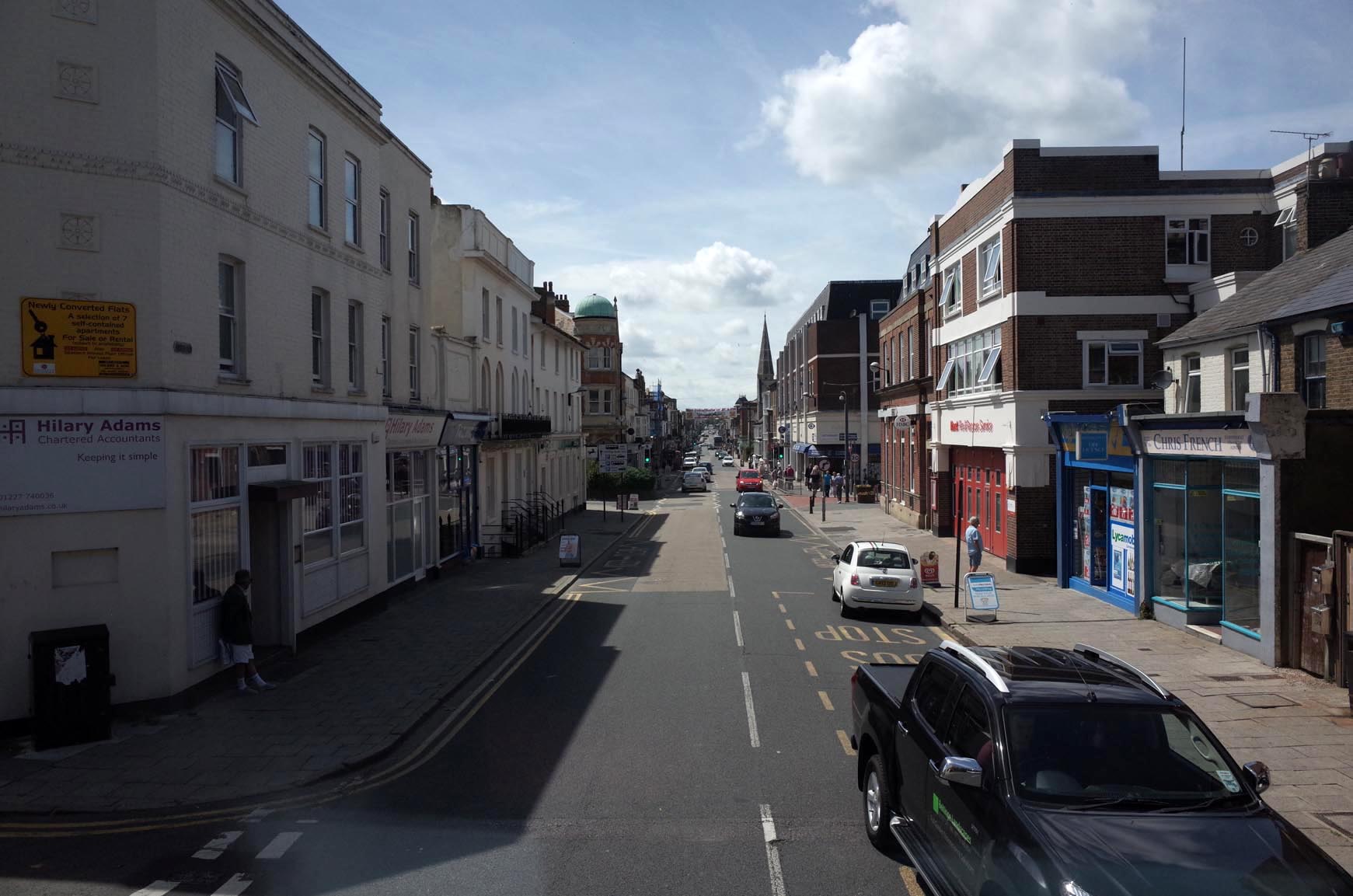
Herne Bay High Street |

Alan McFaden |
Saturday 15th of November 2014 04:26:10 PM |
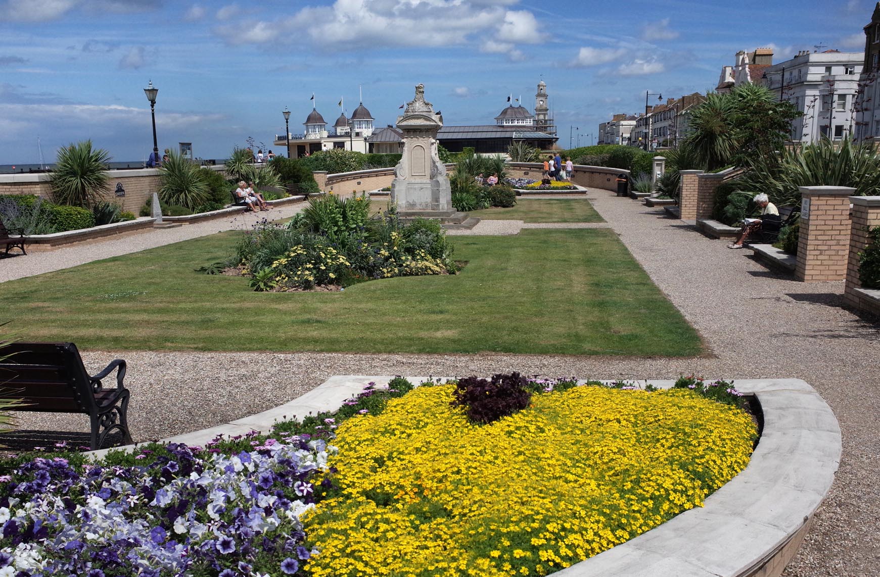
Herne Bay Waltrop Gardens 2014 |
Alan McFaden |
Saturday 15th of November 2014 04:25:46 PM |
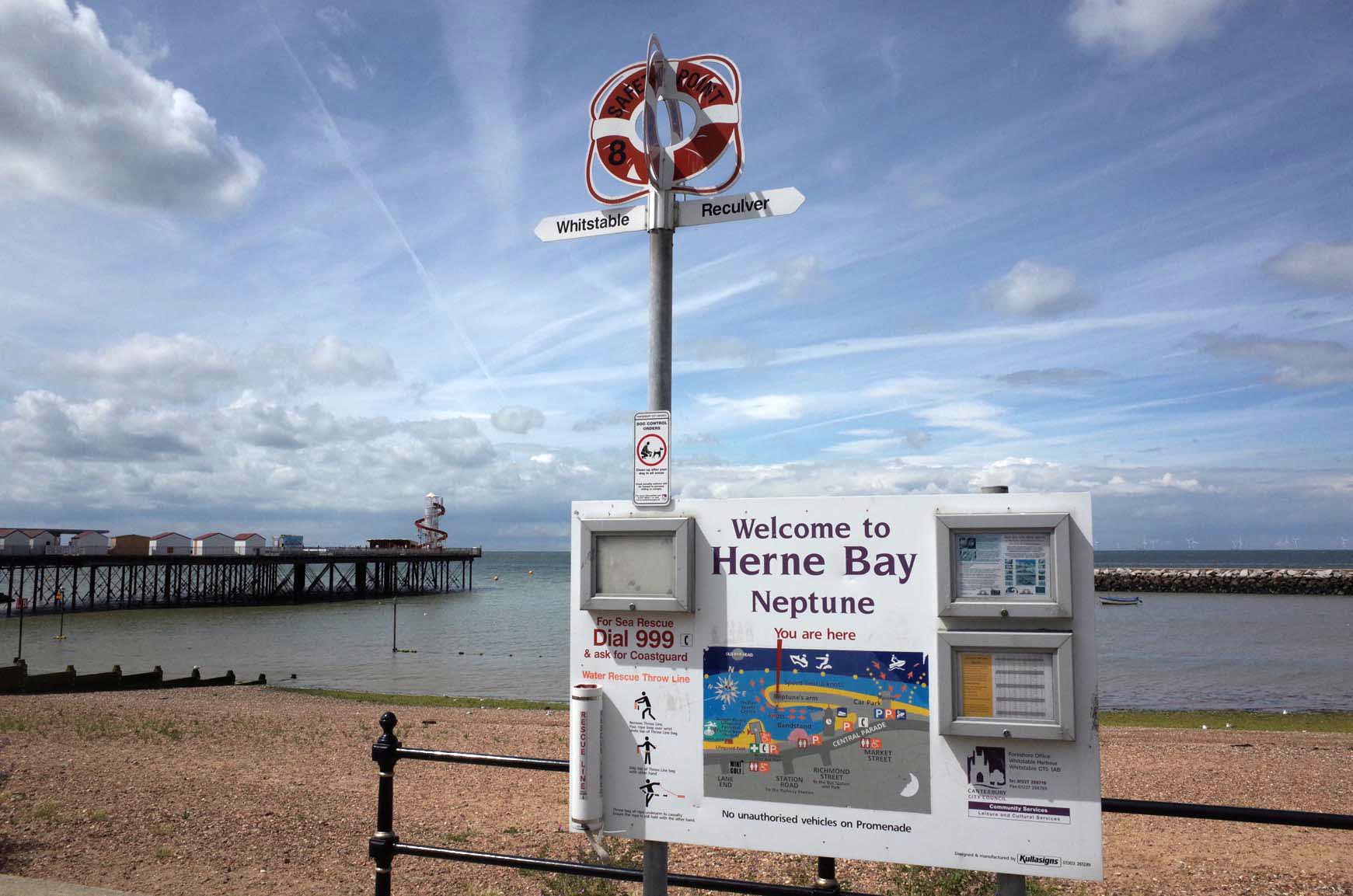
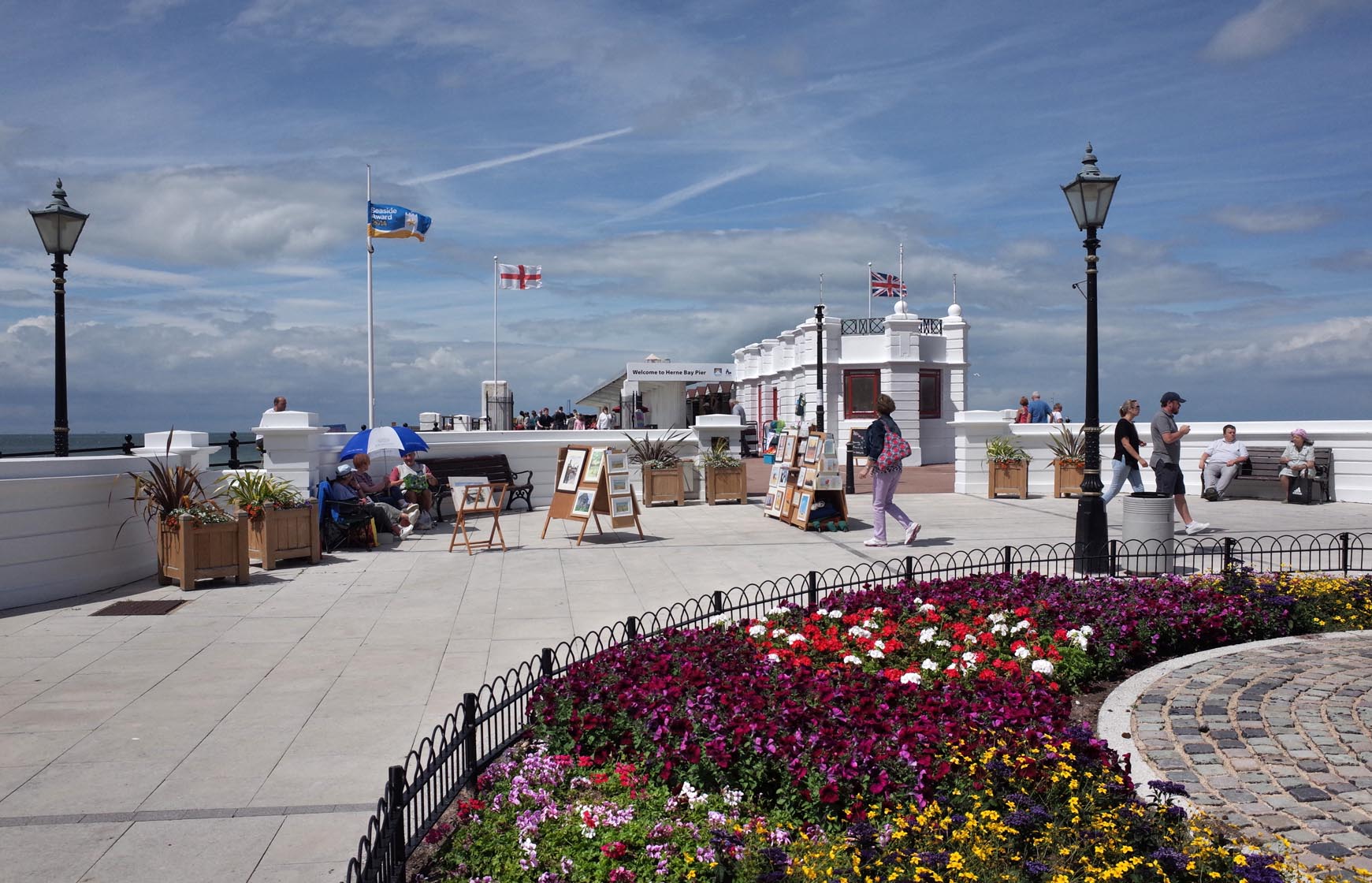
Herne Bay Seafront 2014 |
Alan McFaden |
Saturday 15th of November 2014 04:25:11 PM |
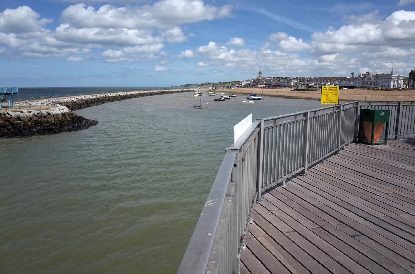
The view from Herne Bay Pier |
Alan McFaden |
Saturday 15th of November 2014 04:24:41 PM |
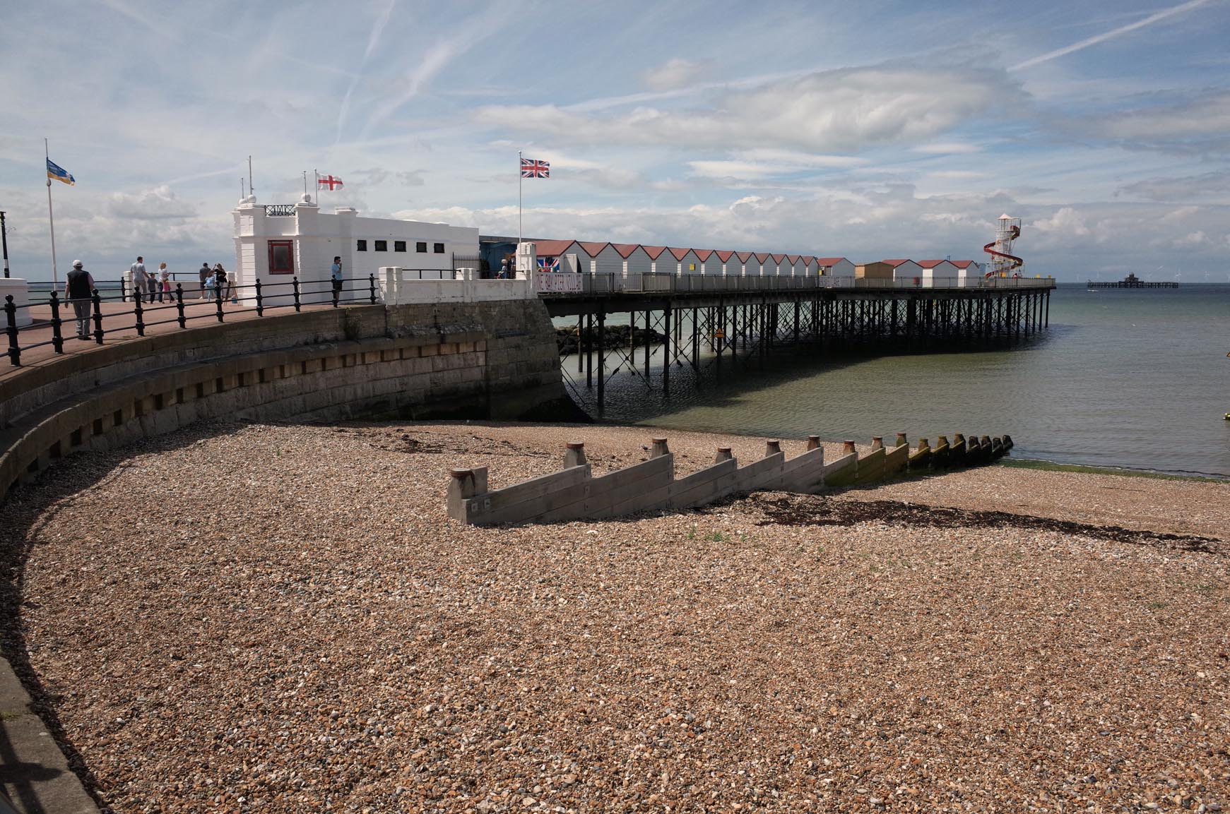
Herne Bay Pier 2014 |
Alan McFaden |
Saturday 15th of November 2014 04:24:13 PM |
Herne Bay Pier 2014 |
Alan McFaden |
Saturday 15th of November 2014 04:23:47 PM |