
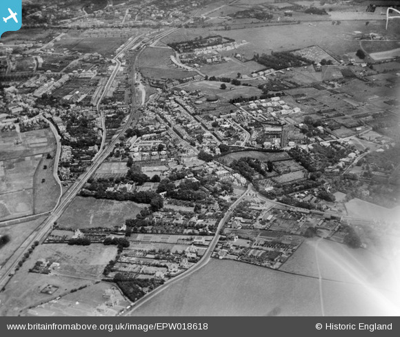
EPW018618 ENGLAND (1927). Canterbury Road and the Faversham and Ramsgate Harbour railway line, Whitstable, from the south-west, 1927
© Copyright OpenStreetMap contributors and licensed by the OpenStreetMap Foundation. 2026. Cartography is licensed as CC BY-SA.
Nearby Images (7)
EPW018618

EAW023150

EAW023151

EAW023154

EAW023152

EAW023149

EAW023153

Details
| Title | [EPW018618] Canterbury Road and the Faversham and Ramsgate Harbour railway line, Whitstable, from the south-west, 1927 |
| Reference | EPW018618 |
| Date | 22-June-1927 |
| Link | |
| Place name | WHITSTABLE |
| Parish | |
| District | |
| Country | ENGLAND |
| Easting / Northing | 610406, 165616 |
| Longitude / Latitude | 1.0219267027448, 51.35010470422 |
| National Grid Reference | TR104656 |
Pins

Sparky |
Friday 29th of December 2017 11:15:33 PM | |
|
Sparky |
Sunday 13th of August 2017 12:34:32 PM | |
|
Sparky |
Sunday 13th of August 2017 12:34:12 PM | |
|
Sparky |
Sunday 13th of August 2017 12:33:29 PM | |
|
Sparky |
Sunday 13th of August 2017 12:32:38 PM | |
|
Sparky |
Sunday 13th of August 2017 12:31:50 PM | |
|
Sparky |
Tuesday 11th of July 2017 01:19:30 PM | |

Ian |
Monday 22nd of October 2012 07:53:07 AM |