
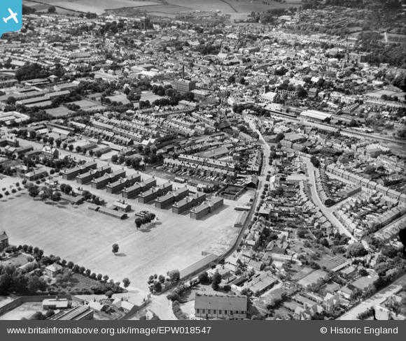
EPW018547 ENGLAND (1927). The Meeanee Barracks and the town, 1927
© Copyright OpenStreetMap contributors and licensed by the OpenStreetMap Foundation. 2026. Cartography is licensed as CC BY-SA.
Nearby Images (2)
EPW018547

EPW018556

Details
| Title | [EPW018547] The Meeanee Barracks and the town, 1927 |
| Reference | EPW018547 |
| Date | 20-June-1927 |
| Link | |
| Place name | COLCHESTER |
| Parish | |
| District | |
| Country | ENGLAND |
| Easting / Northing | 600155, 224596 |
| Longitude / Latitude | 0.9085962906165, 51.883499284109 |
| National Grid Reference | TM002246 |
Pins

J Bois |
Monday 29th of June 2015 09:49:30 PM | |
|
Maizie |
Wednesday 25th of March 2015 08:37:56 PM | |
|
PrezAlan |
Monday 16th of March 2015 08:10:41 PM | |
|
PrezAlan |
Monday 16th of March 2015 08:07:10 PM | |
Named after JF Goodey who was the architect of the New Town development I presume |
AndrewD |
Wednesday 27th of January 2016 02:52:53 PM |
|
PrezAlan |
Saturday 14th of March 2015 02:31:38 PM | |
|
PrezAlan |
Saturday 14th of March 2015 02:30:50 PM | |
|
PrezAlan |
Saturday 14th of March 2015 02:29:28 PM |