
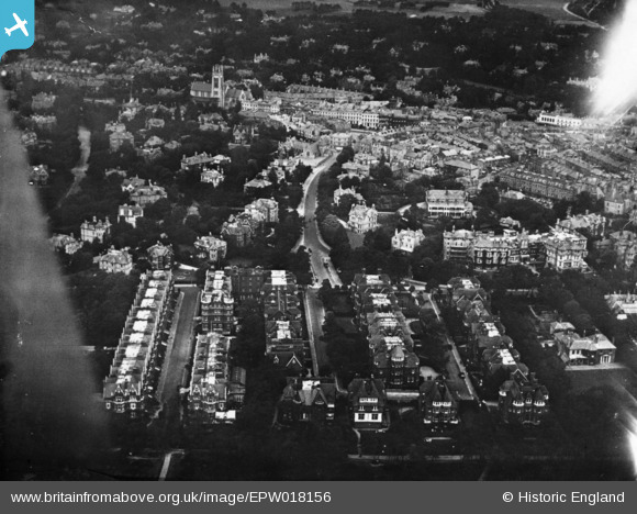
EPW018156 ENGLAND (1927). Durley Road and environs, West Cliff, 1927. This image has been produced from a print.
© Copyright OpenStreetMap contributors and licensed by the OpenStreetMap Foundation. 2026. Cartography is licensed as CC BY-SA.
Nearby Images (7)
EPW018156

EPW046190

EPW046191

EPW046192

EPW046193

EPW046194

EPR000664

Details
| Title | [EPW018156] Durley Road and environs, West Cliff, 1927. This image has been produced from a print. |
| Reference | EPW018156 |
| Date | 5-June-1927 |
| Link | |
| Place name | WEST CLIFF |
| Parish | |
| District | |
| Country | ENGLAND |
| Easting / Northing | 408050, 90829 |
| Longitude / Latitude | -1.8859605869473, 50.716459862328 |
| National Grid Reference | SZ081908 |
Pins
Be the first to add a comment to this image!