
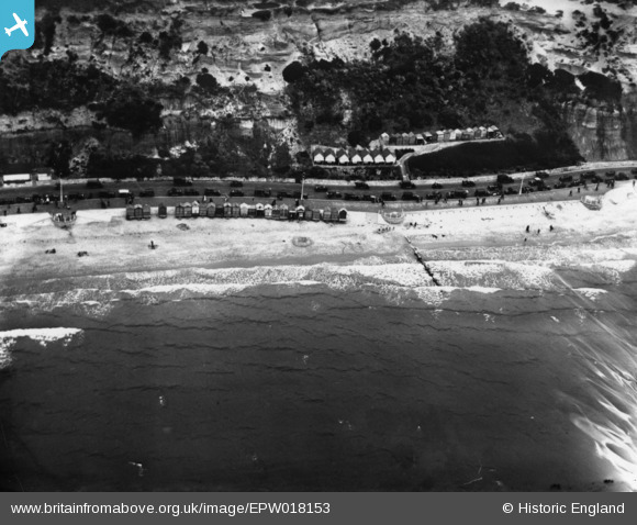
EPW018153 ENGLAND (1927). Beach huts along Undercliffe Drive, Bournemouth, 1927. This image has been produced from a print.
© Copyright OpenStreetMap contributors and licensed by the OpenStreetMap Foundation. 2026. Cartography is licensed as CC BY-SA.
Nearby Images (10)
EPW018153

EAW018155

EAW035605

EAW002996

EPW000279

EPW061511

EAW034623

EAW048933

EPW000276

EAW048935

Details
| Title | [EPW018153] Beach huts along Undercliffe Drive, Bournemouth, 1927. This image has been produced from a print. |
| Reference | EPW018153 |
| Date | 5-June-1927 |
| Link | |
| Place name | BOURNEMOUTH |
| Parish | |
| District | |
| Country | ENGLAND |
| Easting / Northing | 409932, 90948 |
| Longitude / Latitude | -1.8592963203988, 50.717500986708 |
| National Grid Reference | SZ099909 |
Pins
Be the first to add a comment to this image!