
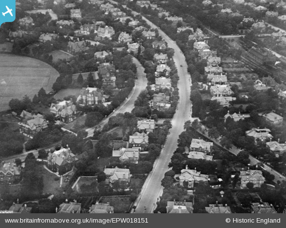
EPW018151 ENGLAND (1927). Lansdowne Road, Bournemouth, 1927. This image has been produced from a copy-negative.
© Copyright OpenStreetMap contributors and licensed by the OpenStreetMap Foundation. 2026. Cartography is licensed as CC BY-SA.
Nearby Images (2)
EPW018151

EAW013486

Details
| Title | [EPW018151] Lansdowne Road, Bournemouth, 1927. This image has been produced from a copy-negative. |
| Reference | EPW018151 |
| Date | 5-June-1927 |
| Link | |
| Place name | BOURNEMOUTH |
| Parish | |
| District | |
| Country | ENGLAND |
| Easting / Northing | 409352, 91986 |
| Longitude / Latitude | -1.8674866567223, 50.726846054158 |
| National Grid Reference | SZ094920 |
Pins
Be the first to add a comment to this image!