
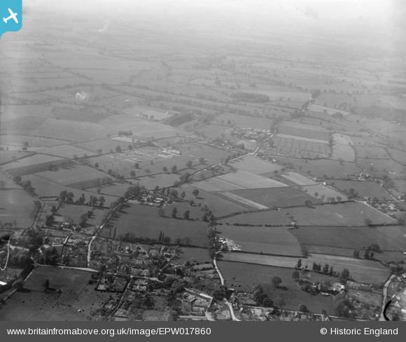
EPW017860 ENGLAND (1927). The Agricultural College (Harper Adams University College), Edgmond, from the south-east, 1927
© Copyright OpenStreetMap contributors and licensed by the OpenStreetMap Foundation. 2025. Cartography is licensed as CC BY-SA.
Nearby Images (2)
EPW017860
, Edgmond, from the south-east, 1927")
EPW017855
, Edgmond, from the south-east, 1927")
Details
| Title | [EPW017860] The Agricultural College (Harper Adams University College), Edgmond, from the south-east, 1927 |
| Reference | EPW017860 |
| Date | April-1927 |
| Link | |
| Place name | EDGMOND |
| Parish | EDGMOND |
| District | |
| Country | ENGLAND |
| Easting / Northing | 371895, 319695 |
| Longitude / Latitude | -2.416654521433, 52.773777452533 |
| National Grid Reference | SJ719197 |
Pins

curnock |
Sunday 15th of December 2013 04:19:22 PM |