
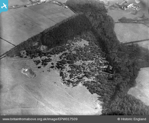
EPW017509 ENGLAND (1927). Whipsnade Wood, Whipsnade, 1927
© Copyright OpenStreetMap contributors and licensed by the OpenStreetMap Foundation. 2026. Cartography is licensed as CC BY-SA.
Nearby Images (10)
EPW017509

EPW035108

EAW014234

EPW035118

EPW017515

EPW035111

EPW035109

EAW037782

EPW017500

EPW056906

Details
| Title | [EPW017509] Whipsnade Wood, Whipsnade, 1927 |
| Reference | EPW017509 |
| Date | March-1927 |
| Link | |
| Place name | WHIPSNADE |
| Parish | WHIPSNADE |
| District | |
| Country | ENGLAND |
| Easting / Northing | 500036, 217835 |
| Longitude / Latitude | -0.54750573608676, 51.849692418078 |
| National Grid Reference | TL000178 |
Pins
Be the first to add a comment to this image!