
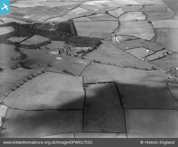
EPW017502 ENGLAND (1927). Hall Farm and environs, Whipsnade, 1927
© Copyright OpenStreetMap contributors and licensed by the OpenStreetMap Foundation. 2026. Cartography is licensed as CC BY-SA.
Nearby Images (2)
EPW017502

EPW035106

Details
| Title | [EPW017502] Hall Farm and environs, Whipsnade, 1927 |
| Reference | EPW017502 |
| Date | March-1927 |
| Link | |
| Place name | WHIPSNADE |
| Parish | WHIPSNADE |
| District | |
| Country | ENGLAND |
| Easting / Northing | 500796, 217544 |
| Longitude / Latitude | -0.53655947851047, 51.846939867375 |
| National Grid Reference | TL008175 |
Pins
Be the first to add a comment to this image!