
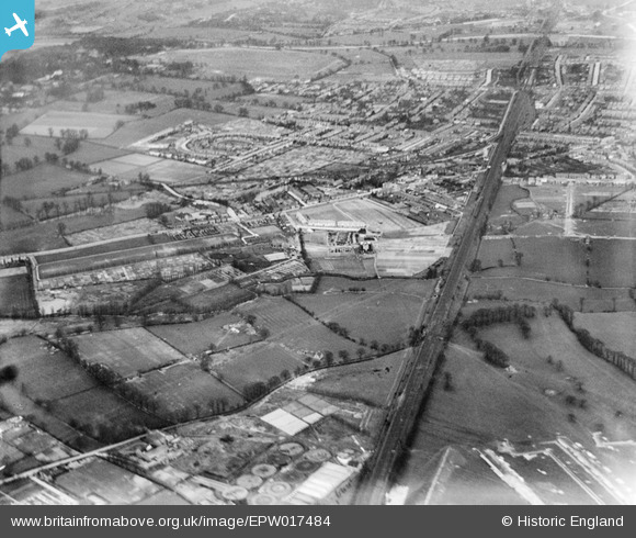
EPW017484 ENGLAND (1927). The town centre, New Malden, from the west, 1927
© Copyright OpenStreetMap contributors and licensed by the OpenStreetMap Foundation. 2026. Cartography is licensed as CC BY-SA.
Nearby Images (3)
EPW017484

EPW056177

EPW052386

Details
| Title | [EPW017484] The town centre, New Malden, from the west, 1927 |
| Reference | EPW017484 |
| Date | 23-March-1927 |
| Link | |
| Place name | NEW MALDEN |
| Parish | |
| District | |
| Country | ENGLAND |
| Easting / Northing | 519654, 168142 |
| Longitude / Latitude | -0.27976567372063, 51.399179851428 |
| National Grid Reference | TQ197681 |
Pins

chris_uk10 |
Monday 24th of October 2016 01:50:40 PM | |
|
totoro |
Saturday 11th of January 2014 05:41:32 PM | |
 8-2007.JPG)
Keith |
Sunday 8th of July 2012 12:29:00 AM | |
|
Keith |
Sunday 8th of July 2012 12:26:39 AM | |
|
Keith |
Sunday 8th of July 2012 12:24:55 AM | |
|
Keith |
Sunday 8th of July 2012 12:23:07 AM | |
|
Hubs |
Saturday 30th of June 2012 03:56:25 PM |