
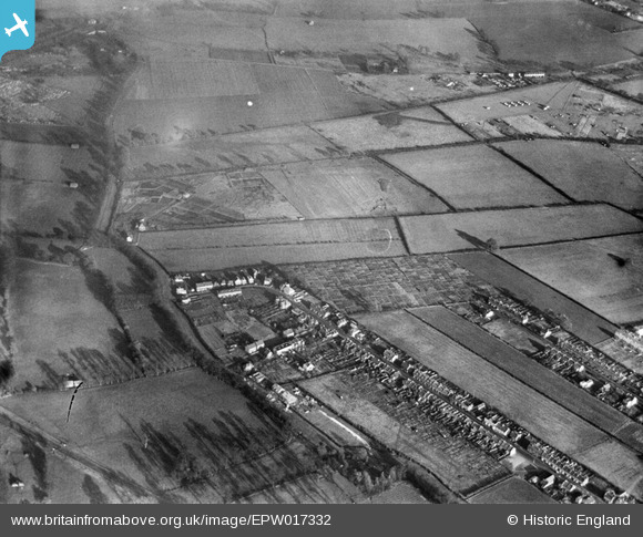
EPW017332 ENGLAND (1926). Longfellow Road and environs, Worcester Park, 1926
© Copyright OpenStreetMap contributors and licensed by the OpenStreetMap Foundation. 2026. Cartography is licensed as CC BY-SA.
Details
| Title | [EPW017332] Longfellow Road and environs, Worcester Park, 1926 |
| Reference | EPW017332 |
| Date | November-1926 |
| Link | |
| Place name | WORCESTER PARK |
| Parish | |
| District | |
| Country | ENGLAND |
| Easting / Northing | 522780, 166459 |
| Longitude / Latitude | -0.23542879167662, 51.383384265188 |
| National Grid Reference | TQ228665 |
Pins

Ruth |
Thursday 22nd of May 2025 04:37:31 PM | |

John Ellingham |
Monday 9th of July 2012 08:41:14 PM | |
|
John Ellingham |
Monday 9th of July 2012 08:40:15 PM |