
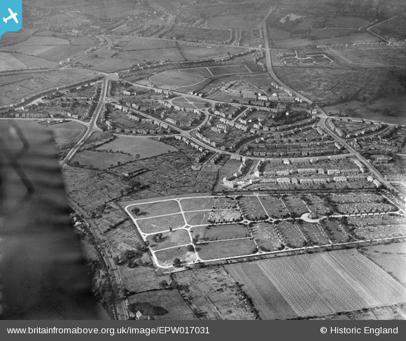
EPW017031 ENGLAND (1926). Londonderry Lane area and the cemetery, Smethwick, from the south-east, 1926
© Copyright OpenStreetMap contributors and licensed by the OpenStreetMap Foundation. 2025. Cartography is licensed as CC BY-SA.
Nearby Images (2)
EPW017031

EPW038516

Details
| Title | [EPW017031] Londonderry Lane area and the cemetery, Smethwick, from the south-east, 1926 |
| Reference | EPW017031 |
| Date | 6-October-1926 |
| Link | |
| Place name | SMETHWICK |
| Parish | |
| District | |
| Country | ENGLAND |
| Easting / Northing | 401595, 287353 |
| Longitude / Latitude | -1.9765101256262, 52.483726848702 |
| National Grid Reference | SP016874 |
Pins

LadyJai |
Monday 25th of November 2024 11:11:58 PM | |
|
LadyJai |
Monday 25th of November 2024 11:10:12 PM | |
|
LadyJai |
Monday 25th of November 2024 11:08:56 PM | |
|
Toby Bird |
Sunday 12th of February 2017 12:34:41 AM | |
|
Toby Bird |
Sunday 12th of February 2017 12:34:02 AM | |
|
Toby Bird |
Sunday 12th of February 2017 12:33:20 AM | |
|
Toby Bird |
Sunday 12th of February 2017 12:32:37 AM | |
|
Toby Bird |
Sunday 12th of February 2017 12:31:26 AM | |
|
artscotak2 |
Saturday 12th of January 2013 06:41:56 PM | |
|
artscotak2 |
Saturday 12th of January 2013 06:38:44 PM | |
|
artscotak2 |
Saturday 12th of January 2013 06:36:36 PM | |
|
artscotak2 |
Saturday 12th of January 2013 06:35:47 PM | |

The_Zipster |
Sunday 29th of July 2012 11:31:49 PM |