
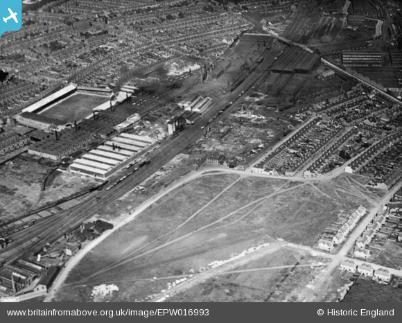
EPW016993 ENGLAND (1926). Cotton Lane and environs, Derby, 1926. This image has been produced from a copy-negative.
© Copyright OpenStreetMap contributors and licensed by the OpenStreetMap Foundation. 2026. Cartography is licensed as CC BY-SA.
Nearby Images (38)
EPW016993

EAW004680

EAW044385

EPW020799

EPW016991

EAW002480

EAW004679

EAW013120

EAW004682

EAW002479

EAW004677

EAW013121

EPW016995

EPW046668

EPW005809

EAW013122

EPW005807

EAW004681

EPW046667

EAW044382

EAW002477

EAW002476

EAW002481

EPW020802

EPW046660

EPW046664

EPW005810

EAW002478

EAW044380

EPW046661

EAW004678

EAW044381

EAW013124

EAW013110

EPW046665

EPW020798

EPW046669

EPW045453

Details
| Title | [EPW016993] Cotton Lane and environs, Derby, 1926. This image has been produced from a copy-negative. |
| Reference | EPW016993 |
| Date | October-1926 |
| Link | |
| Place name | DERBY |
| Parish | |
| District | |
| Country | ENGLAND |
| Easting / Northing | 436019, 334082 |
| Longitude / Latitude | -1.4644372021073, 52.902647621515 |
| National Grid Reference | SK360341 |
Pins

Triggy |
Monday 4th of May 2015 08:12:55 PM | |
|
Triggy |
Monday 4th of May 2015 08:12:06 PM | |
|
Triggy |
Monday 4th of May 2015 08:10:31 PM | |
|
Triggy |
Monday 4th of May 2015 08:09:04 PM | |
|
Triggy |
Monday 4th of May 2015 08:08:11 PM |