
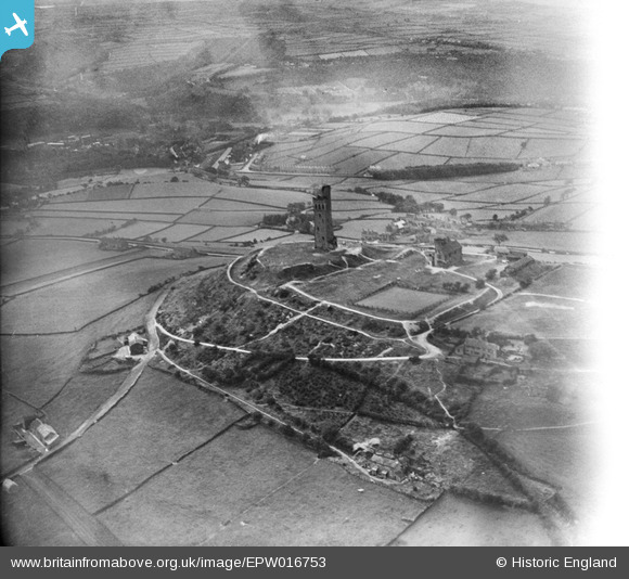
EPW016753 ENGLAND (1926). Castle Hill, Huddersfield, 1926
© Copyright OpenStreetMap contributors and licensed by the OpenStreetMap Foundation. 2026. Cartography is licensed as CC BY-SA.
Nearby Images (3)
EPW016753

EPW016751

EPW016752

Details
| Title | [EPW016753] Castle Hill, Huddersfield, 1926 |
| Reference | EPW016753 |
| Date | August-1926 |
| Link | |
| Place name | HUDDERSFIELD |
| Parish | |
| District | |
| Country | ENGLAND |
| Easting / Northing | 415208, 413983 |
| Longitude / Latitude | -1.7700482566757, 53.621929492647 |
| National Grid Reference | SE152140 |
Pins
Be the first to add a comment to this image!