
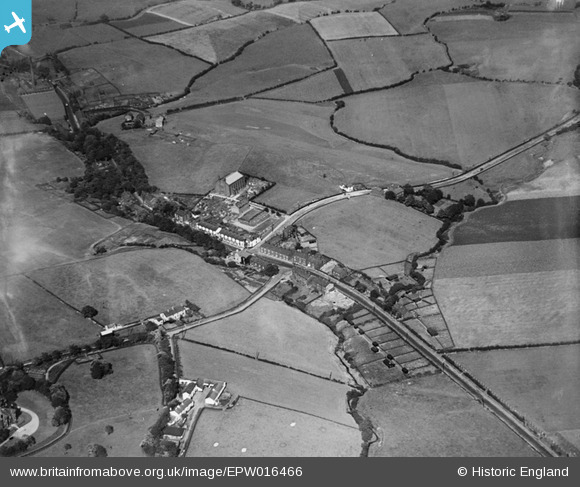
EPW016466 ENGLAND (1926). St Mary's Church and the village, Birch, 1926
© Copyright OpenStreetMap contributors and licensed by the OpenStreetMap Foundation. 2025. Cartography is licensed as CC BY-SA.
Nearby Images (3)
EPW016466

EPW016458

EPW016446

Details
| Title | [EPW016466] St Mary's Church and the village, Birch, 1926 |
| Reference | EPW016466 |
| Date | 6-August-1926 |
| Link | |
| Place name | BIRCH |
| Parish | |
| District | |
| Country | ENGLAND |
| Easting / Northing | 385193, 407724 |
| Longitude / Latitude | -2.2235912580112, 53.565677260712 |
| National Grid Reference | SD852077 |
Pins

Al Roach |
Sunday 29th of July 2012 09:29:57 PM | |
|
Al Roach |
Sunday 29th of July 2012 09:27:29 PM | |
|
Al Roach |
Sunday 29th of July 2012 09:26:22 PM | |
|
Al Roach |
Sunday 29th of July 2012 09:24:14 PM | |
|
Al Roach |
Sunday 29th of July 2012 09:23:16 PM | |
|
Al Roach |
Sunday 29th of July 2012 09:19:35 PM |