
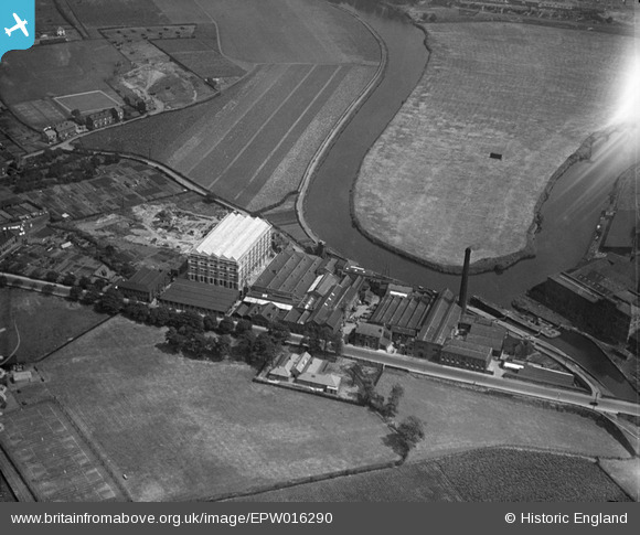
EPW016290 ENGLAND (1926). Thornes Worsted Spinning Mills, Wakefield, 1926
© Copyright OpenStreetMap contributors and licensed by the OpenStreetMap Foundation. 2026. Cartography is licensed as CC BY-SA.
Nearby Images (9)
EPW016290

EAW025181

EAW025180

EAW025182

EAW025183

EAW025179

EAW025178

EAW025175

EAW025176

Details
| Title | [EPW016290] Thornes Worsted Spinning Mills, Wakefield, 1926 |
| Reference | EPW016290 |
| Date | 14-July-1926 |
| Link | |
| Place name | WAKEFIELD |
| Parish | |
| District | |
| Country | ENGLAND |
| Easting / Northing | 432817, 419000 |
| Longitude / Latitude | -1.5032707223533, 53.66621925131 |
| National Grid Reference | SE328190 |
