
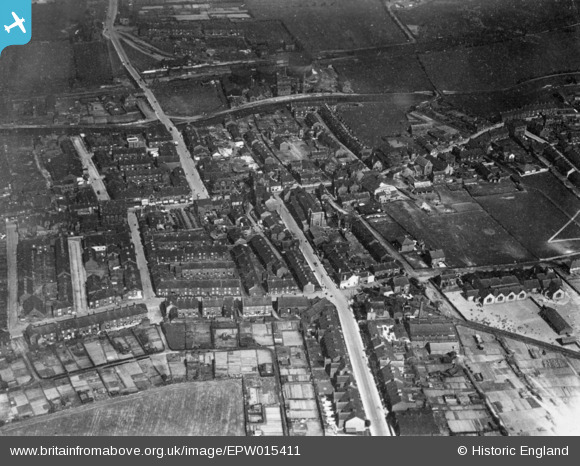
EPW015411 ENGLAND (1926). The town centre, Wombwell, 1926. This image has been produced from a copy-negative.
© Copyright OpenStreetMap contributors and licensed by the OpenStreetMap Foundation. 2026. Cartography is licensed as CC BY-SA.
Nearby Images (2)
EPW015411

EPW015500

Details
| Title | [EPW015411] The town centre, Wombwell, 1926. This image has been produced from a copy-negative. |
| Reference | EPW015411 |
| Date | 3-May-1926 |
| Link | |
| Place name | WOMBWELL |
| Parish | |
| District | |
| Country | ENGLAND |
| Easting / Northing | 440028, 402908 |
| Longitude / Latitude | -1.3961944981781, 53.521068727589 |
| National Grid Reference | SE400029 |
