
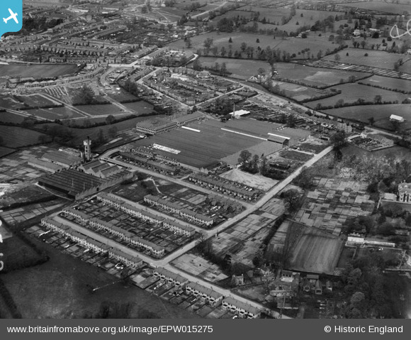
EPW015275 ENGLAND (1926). The Peel Conner Telephone Works and environs, Stoke, 1926
© Copyright OpenStreetMap contributors and licensed by the OpenStreetMap Foundation. 2026. Cartography is licensed as CC BY-SA.
Nearby Images (16)
EPW015275

EPW010577

EPW015036

EPW010517

EPW015039

EPW015273

EPW015035

EPW015041

EPW015278

EPW015271

EPW015040

EPW015272

EPW015037

EPW015042

EPW015034

EPW015038

Details
| Title | [EPW015275] The Peel Conner Telephone Works and environs, Stoke, 1926 |
| Reference | EPW015275 |
| Date | 20-April-1926 |
| Link | |
| Place name | STOKE |
| Parish | |
| District | |
| Country | ENGLAND |
| Easting / Northing | 436320, 278506 |
| Longitude / Latitude | -1.46608341356, 52.402979693617 |
| National Grid Reference | SP363785 |
Pins

Andy |
Tuesday 4th of October 2016 04:23:34 PM | |

Class31 |
Thursday 14th of March 2013 09:47:57 PM | |
|
Class31 |
Thursday 14th of March 2013 09:46:10 PM | |
|
Class31 |
Thursday 14th of March 2013 09:34:22 PM | |
|
Class31 |
Thursday 14th of March 2013 09:30:41 PM | |
|
Class31 |
Thursday 14th of March 2013 09:16:04 PM | |
|
Class31 |
Thursday 14th of March 2013 09:14:18 PM |