
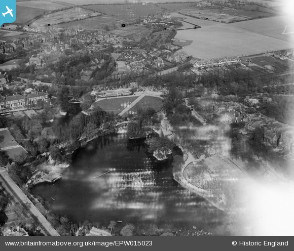
EPW015023 ENGLAND (1926). Hatherton Lake, Walsall, from the south-west, 1926
© Copyright OpenStreetMap contributors and licensed by the OpenStreetMap Foundation. 2026. Cartography is licensed as CC BY-SA.
Nearby Images (6)
EPW015023

EPW015029

EPW005670

EPW005778

EPW024712

EPW015026

Details
| Title | [EPW015023] Hatherton Lake, Walsall, from the south-west, 1926 |
| Reference | EPW015023 |
| Date | 12-April-1926 |
| Link | |
| Place name | WALSALL |
| Parish | |
| District | |
| Country | ENGLAND |
| Easting / Northing | 401968, 299123 |
| Longitude / Latitude | -1.9709471171686, 52.589548761897 |
| National Grid Reference | SP020991 |
Pins

Class31 |
Wednesday 31st of October 2012 05:38:34 PM | |
|
Class31 |
Wednesday 31st of October 2012 05:37:53 PM | |
|
Class31 |
Wednesday 31st of October 2012 05:37:35 PM | |
|
Class31 |
Wednesday 31st of October 2012 05:37:16 PM | |
|
Class31 |
Wednesday 31st of October 2012 05:36:55 PM |