
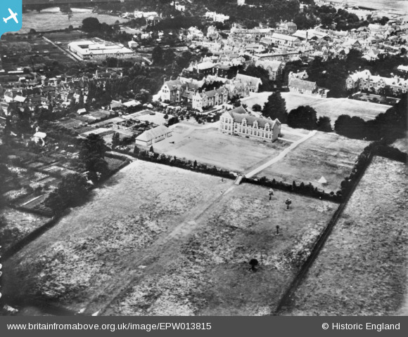
EPW013815 ENGLAND (1925). Bromsgrove School, Bromsgrove, 1925. This image has been produced from a copy-negative.
© Copyright OpenStreetMap contributors and licensed by the OpenStreetMap Foundation. 2026. Cartography is licensed as CC BY-SA.
Nearby Images (4)
EPW013815

EPW013818

EPW013821

EPW010501

Details
| Title | [EPW013815] Bromsgrove School, Bromsgrove, 1925. This image has been produced from a copy-negative. |
| Reference | EPW013815 |
| Date | July-1925 |
| Link | |
| Place name | BROMSGROVE |
| Parish | |
| District | |
| Country | ENGLAND |
| Easting / Northing | 395704, 270166 |
| Longitude / Latitude | -2.0630473158601, 52.329181984222 |
| National Grid Reference | SO957702 |
Pins
Be the first to add a comment to this image!