
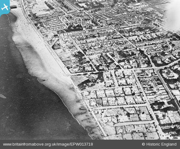
EPW013718 ENGLAND (1925). The King's Gap and environs, Hoylake, 1925. This image has been produced from a copy-negative.
© Copyright OpenStreetMap contributors and licensed by the OpenStreetMap Foundation. 2026. Cartography is licensed as CC BY-SA.
Nearby Images (2)
EPW013718

 0°
0m
0°
0m
EPW013717
 51°
296m
51°
296m
Details
| Title | [EPW013718] The King's Gap and environs, Hoylake, 1925. This image has been produced from a copy-negative. |
| Reference | EPW013718 |
| Date | 12-July-1925 |
| Link | |
| Place name | HOYLAKE |
| Parish | |
| District | |
| Country | ENGLAND |
| Easting / Northing | 321308, 389117 |
| Longitude / Latitude | -3.1834804126717, 53.392753601202 |
| National Grid Reference | SJ213891 |
Pins
 St Hildeburgh's Church (constructed 1897-99) St Hildeburgh's Church (constructed 1897-99) |

Saul Marks |
Monday 25th of May 2026 11:26:43 PM |
| 35 Rudd Street Hoylake |
JethroBodineJr |
Thursday 30th of September 2021 05:20:42 PM |
| Hoylake |
vinny |
Saturday 19th of December 2020 03:08:24 PM |