
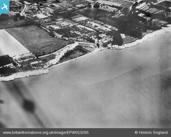
EPW013295 ENGLAND (1925). West Cliff and Pegwell Road, Pegwell, 1925. This image has been produced from a copy-negative.
© Copyright OpenStreetMap contributors and licensed by the OpenStreetMap Foundation. 2026. Cartography is licensed as CC BY-SA.
Nearby Images (2)
EPW013295

EPW000086

Details
| Title | [EPW013295] West Cliff and Pegwell Road, Pegwell, 1925. This image has been produced from a copy-negative. |
| Reference | EPW013295 |
| Date | June-1925 |
| Link | |
| Place name | PEGWELL |
| Parish | RAMSGATE |
| District | |
| Country | ENGLAND |
| Easting / Northing | 636238, 164083 |
| Longitude / Latitude | 1.391258508862, 51.326193968991 |
| National Grid Reference | TR362641 |
Pins
Be the first to add a comment to this image!