
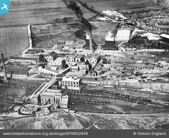
EPW012848 ENGLAND (1925). Brodsworth Main Colliery, Adwick Le Street, 1925. This image has been produced from a copy-negative.
© Copyright OpenStreetMap contributors and licensed by the OpenStreetMap Foundation. 2026. Cartography is licensed as CC BY-SA.
Nearby Images (2)
EPW012848

EPW012843

Details
| Title | [EPW012848] Brodsworth Main Colliery, Adwick Le Street, 1925. This image has been produced from a copy-negative. |
| Reference | EPW012848 |
| Date | May-1925 |
| Link | |
| Place name | ADWICK LE STREET |
| Parish | |
| District | |
| Country | ENGLAND |
| Easting / Northing | 452592, 407720 |
| Longitude / Latitude | -1.2058803163039, 53.563214367984 |
| National Grid Reference | SE526077 |
Pins

spugs |
Tuesday 17th of January 2017 11:35:09 AM |