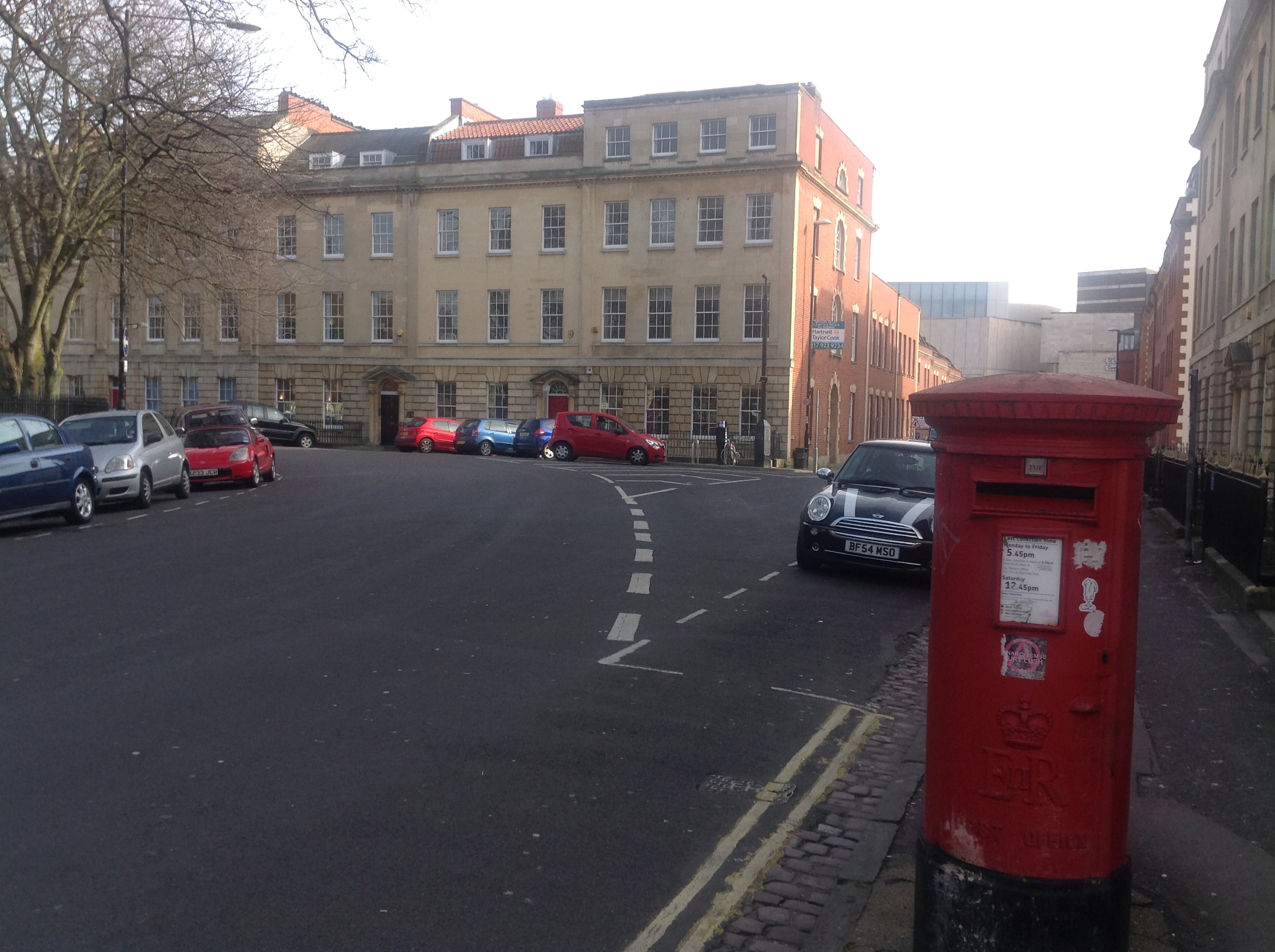
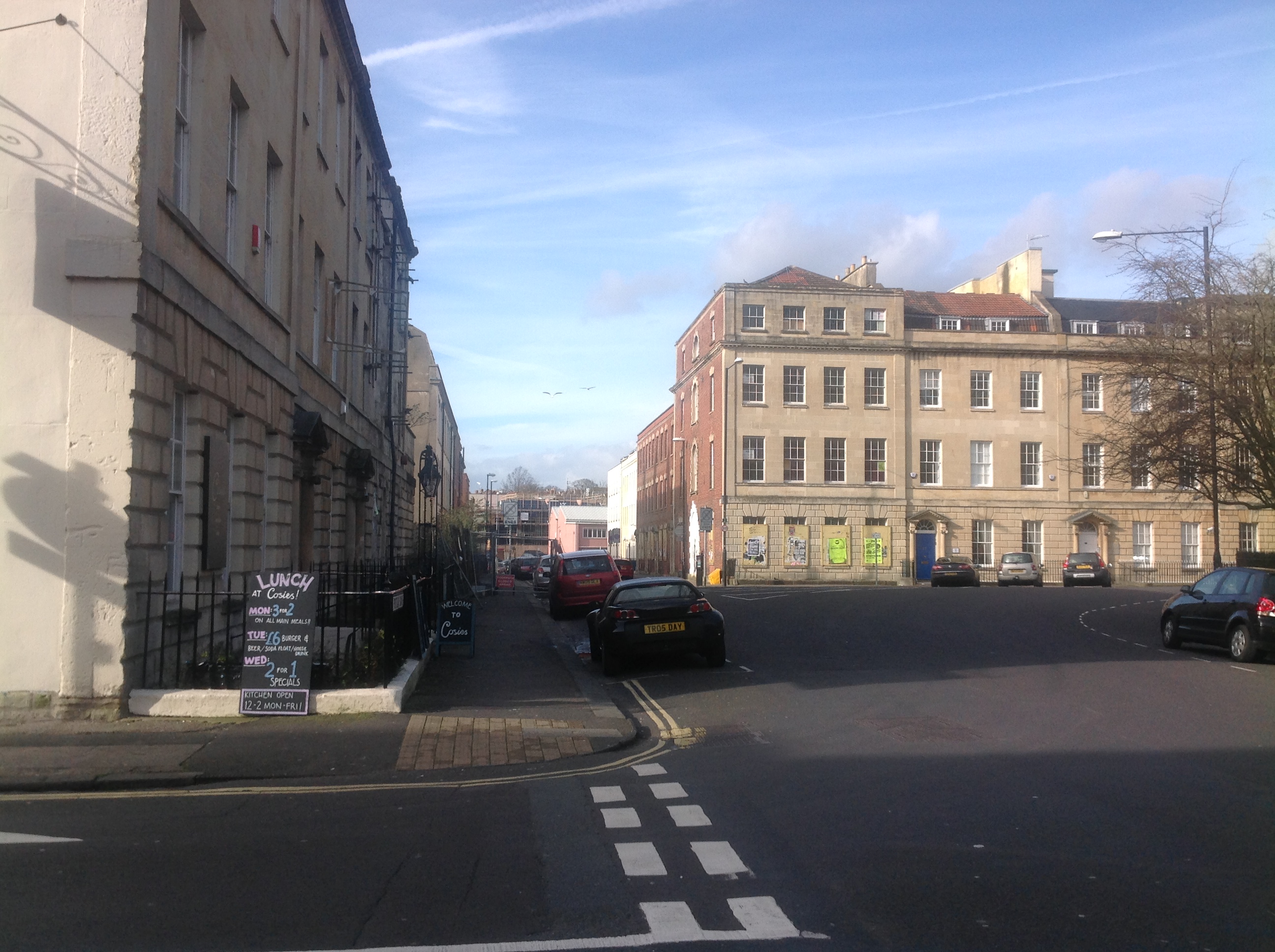
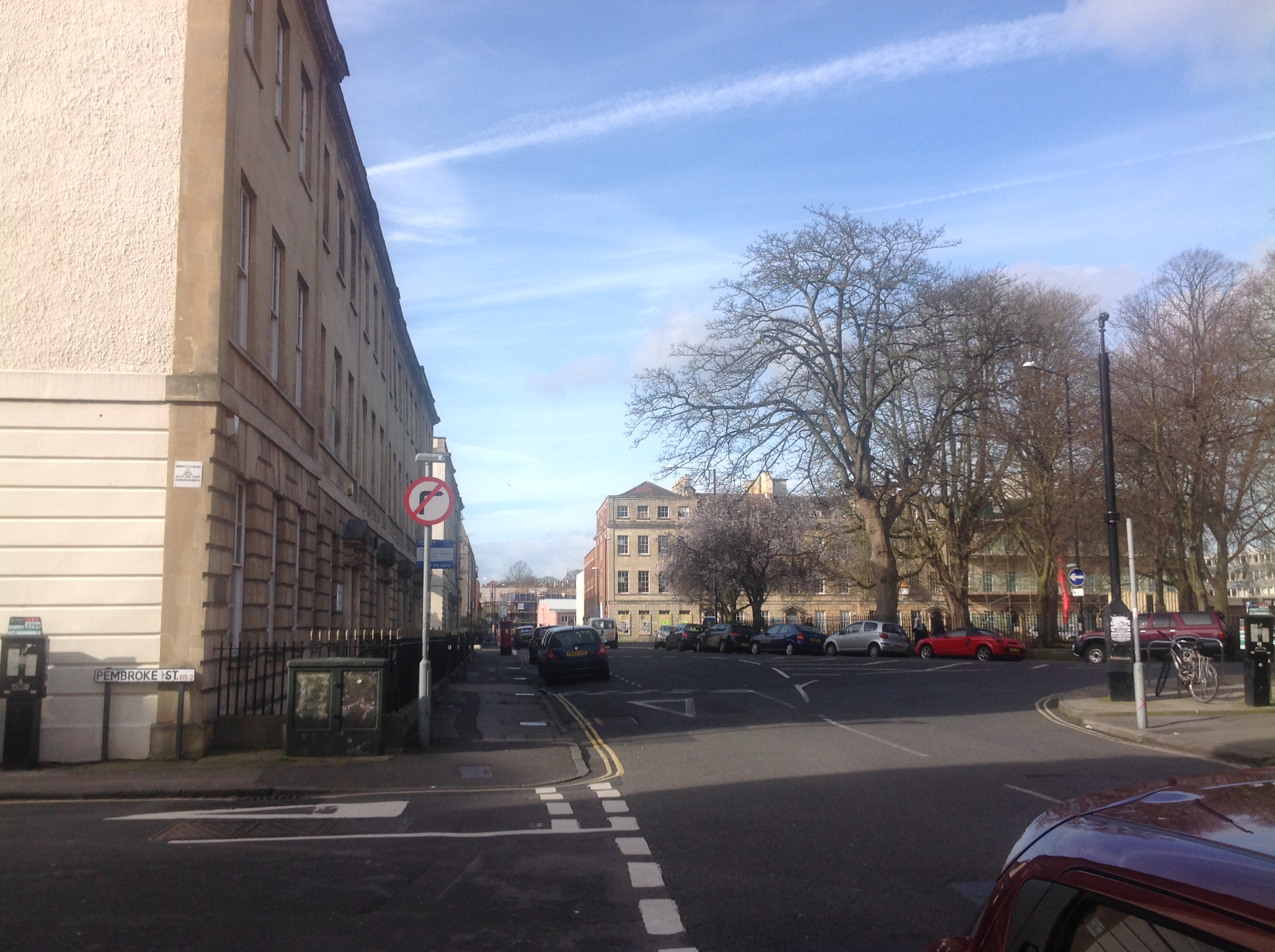
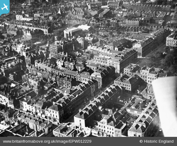
EPW012229 ENGLAND (1924). Pritchard Street and environs, Bristol, 1924. This image has been produced from a print.
© Copyright OpenStreetMap contributors and licensed by the OpenStreetMap Foundation. 2026. Cartography is licensed as CC BY-SA.
Nearby Images (8)
EPW012229

EPW050471

EPW050474

EPW012228

EPW050473

EPW050475

EPW050472

EPW059828

Details
| Title | [EPW012229] Pritchard Street and environs, Bristol, 1924. This image has been produced from a print. |
| Reference | EPW012229 |
| Date | October-1924 |
| Link | |
| Place name | BRISTOL |
| Parish | |
| District | |
| Country | ENGLAND |
| Easting / Northing | 359355, 173633 |
| Longitude / Latitude | -2.5850982257249, 51.459723861772 |
| National Grid Reference | ST594736 |